Detector Maps
Start free for 3 days on any yearly plan — nothing charged until the trial ends.
Open the mapCalifornia · Gold Maps
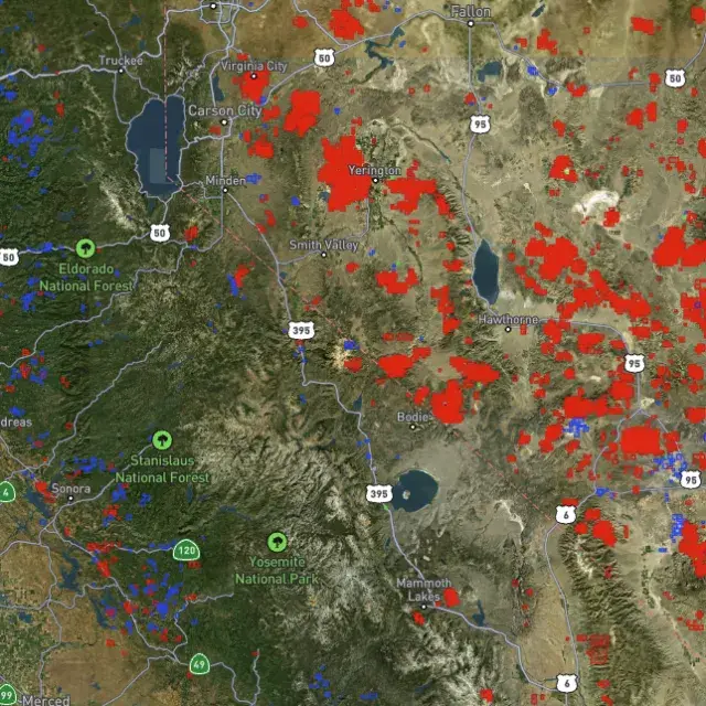
California pulled roughly 118 million ounces out of the ground — more than any state in U.S. history. The Mother Lode is still here. The question is whether you're standing on open BLM ground or someone's active claim. Map every claim, every USGS gold occurrence, and every LiDAR-cut river bench across the Sierra. Prospect smarter, not harder.
Start Free TrialThe defining story: California isn't a gold state — it's the gold state, the place that gave its name to the 1849 Rush and forced statehood. Cumulative production ~118M oz, the most of any state historically.
The Mother Lode (the backbone). A roughly 120-mile northwest–southeast belt of gold-quartz veins running through the western Sierra Nevada foothills — Highway 49 country. This is lode gold: hard-rock quartz veins that fed every downstream placer. Counties to name: Tuolumne, Calaveras, Amador, El Dorado, Placer, Nevada, Mariposa, Sierra.
The signature placer rivers. The American River (and its three forks — birthplace at Sutter's Mill/Coloma, Jan 1848), the Feather, the Yuba, the Trinity (Klamath-Trinity district up north, distinct from the Sierra), the Merced (below Yosemite), the Stanislaus, the Mokelumne, and the Klamath. These drainages eroded the Mother Lode for millions of years and concentrated placer gold into bars, benches, and ancient (Tertiary) river channels buried under volcanic flows.

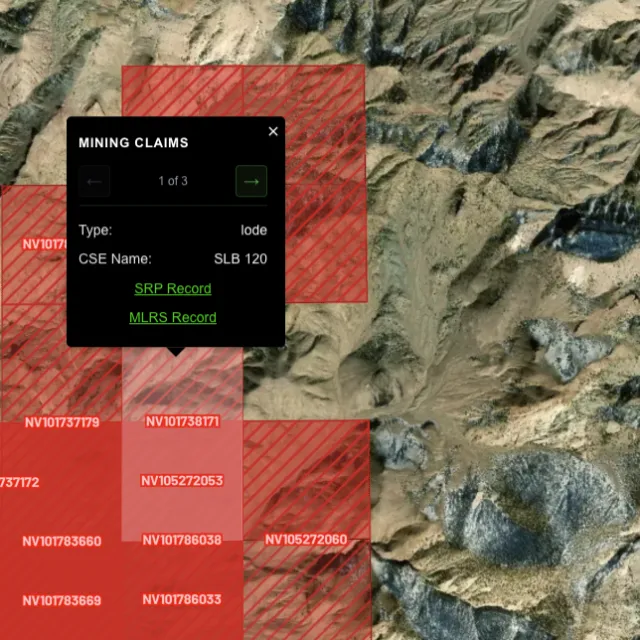
Active placer and lode claims on federal land, styled apart and linked to the official BLM record — so you know what's open before you drive.
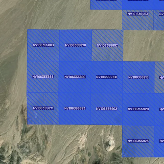
Alluvial-gold claims.

Hard-rock claims.

Public vs private.

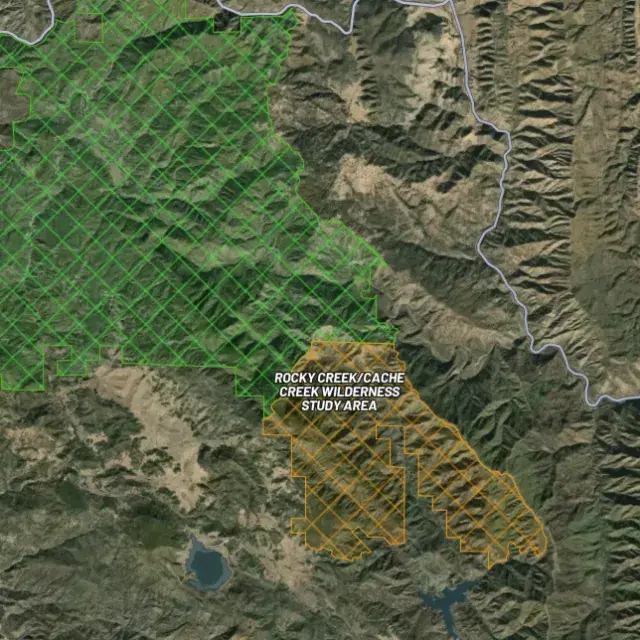
Off-limits ground.

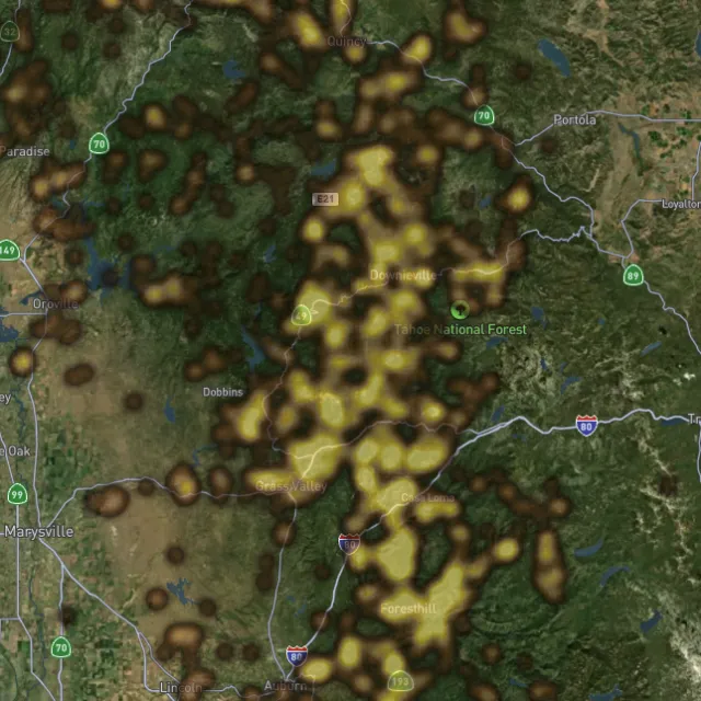
Placer and lode heatmaps built from decades of occurrences, geochemistry and geology — read the hottest ground first, then ground-truth it.
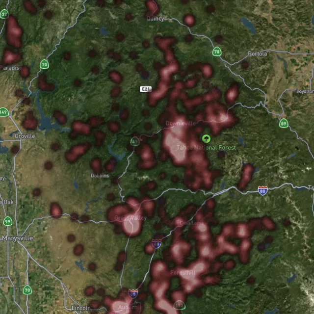
Reef prospectivity.

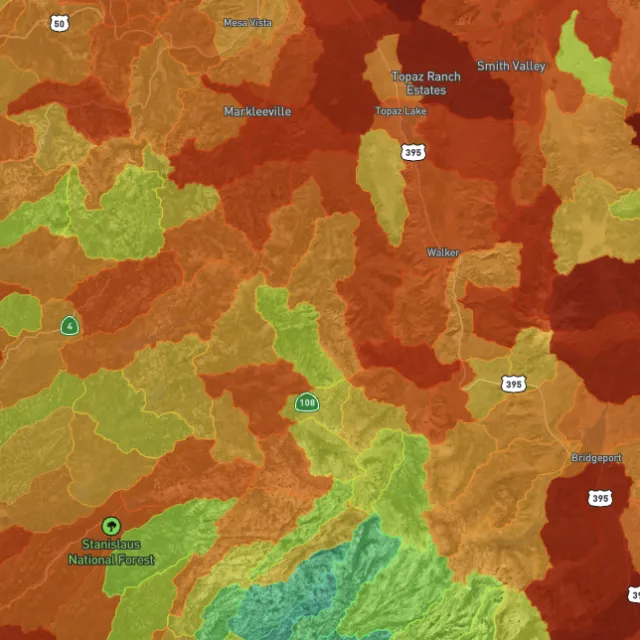
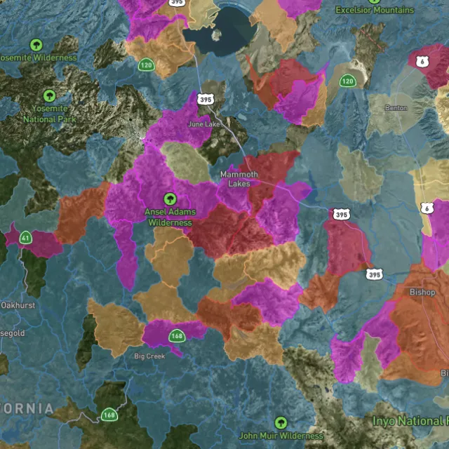
Catchments ranked.

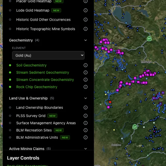
Soil, stream, pathfinders.

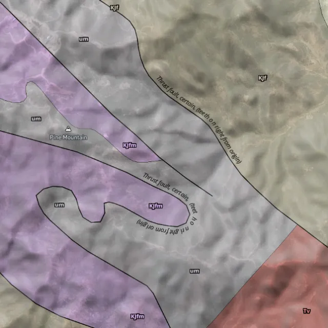
Read the host rocks.

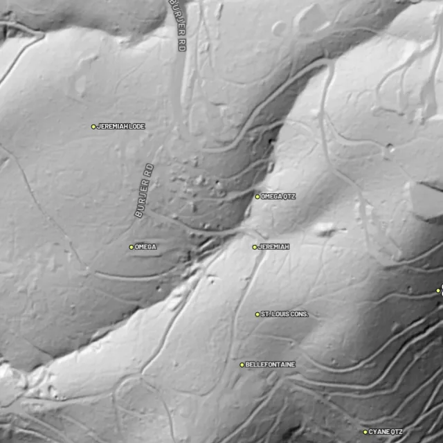
Strip away the canopy and old workings, benches and water-races jump out — rendered from any light angle, tinted by slope or elevation.
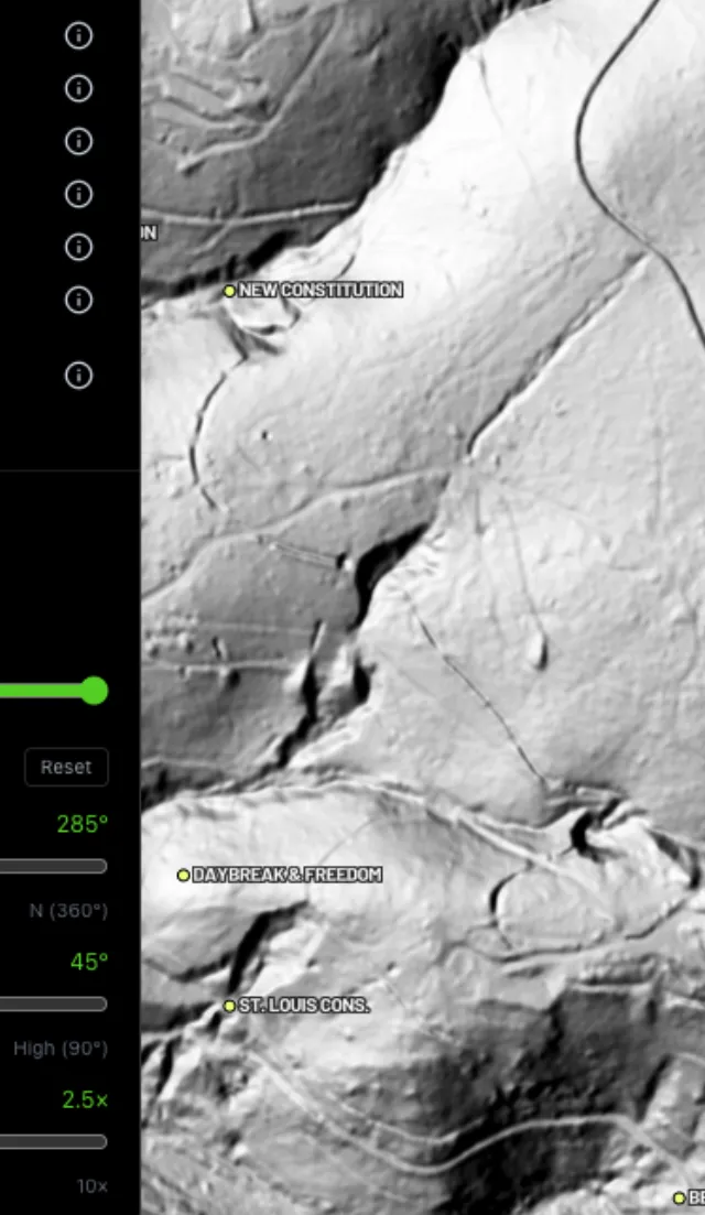
Light it any way.

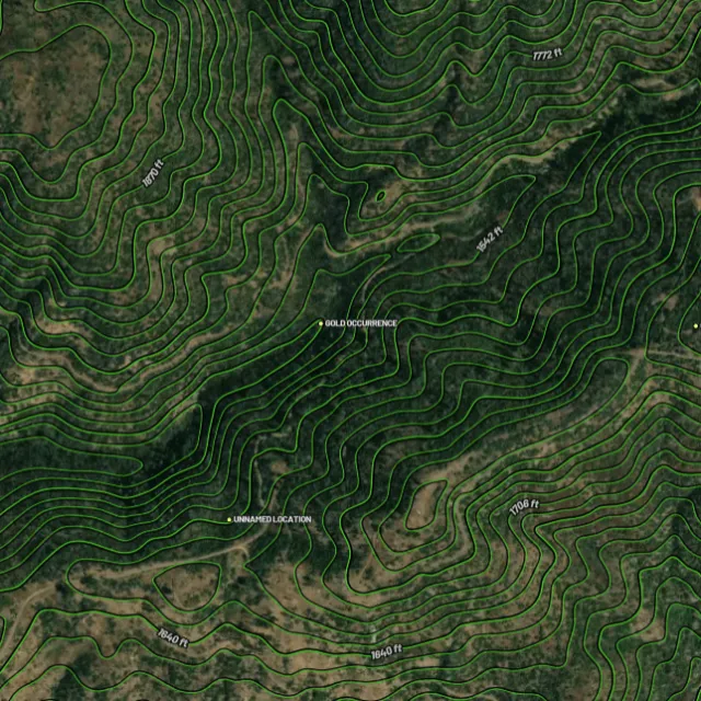
Read the gradient.

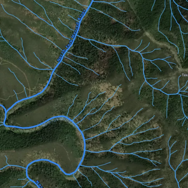
Where placer runs.

Whole gullies scored.

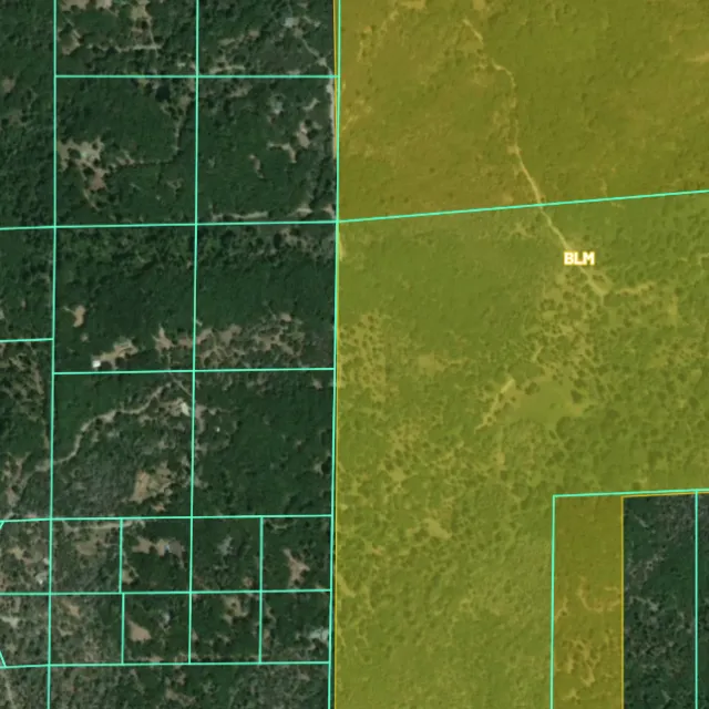
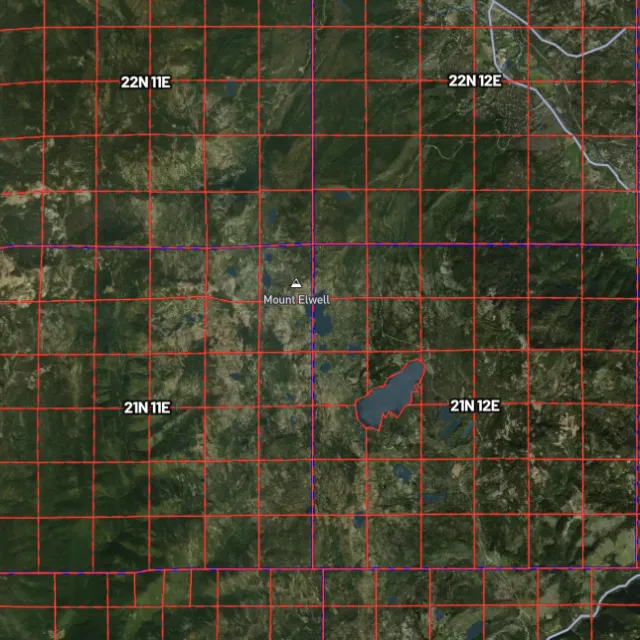
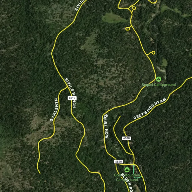
Surface-management agencies, land ownership, the PLSS grid and the roads to reach them — prospect legal, accessible public ground. A guide, not legal advice.
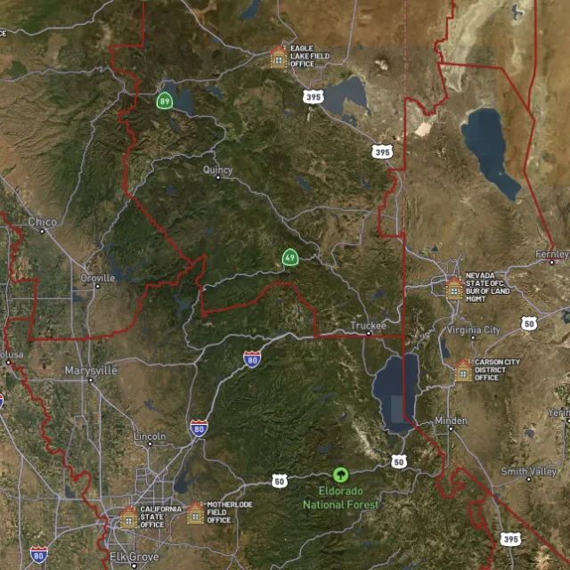
Managed public ground.

Township / range / section.

What you can drive.

Avoid these.
Every claim, every layer, every gold-bearing state — on one map you can take off-grid.
3-day free trial · Nothing charged until it ends · Cancel anytime
California FAQ
If yours isn’t here, email [email protected] — we read every one.
Start free for 3 days on any yearly plan — nothing charged until the trial ends.
Yes — California is one of the most gold-rich states in the country, and gold has been found across it since the 1848 discovery that sparked the 1849 Gold Rush. The richest historic ground runs along the Mother Lode through the Sierra Nevada foothills (counties like El Dorado, Amador, Calaveras, and Tuolumne), the northern Sierra around the Yuba and Feather rivers, and the Klamath–Trinity region in the northwest. These districts produced enormous quantities of placer and lode gold, and prospectors still work many of the same drainages today.
Prospecting generally takes place on open public land managed by the BLM and US Forest Service, which is widespread across the Sierra Nevada foothills, the Klamath and Trinity areas, and the desert ranges of southeastern California. The historic Mother Lode belt and the Yuba, Feather, American, and Trinity river systems are classic proven ground worth focusing on. Before you dig or pan anywhere, always confirm an area isn’t covered by a valid active mining claim and isn’t inside a withdrawn or off-limits zone such as a national park or wilderness.
For casual recreational panning and prospecting on open public land, you generally don’t need to file a mining claim — claims are for securing exclusive rights to mineral deposits, not a requirement to pan. If you want exclusive rights to a spot you’re working, you’d locate and file a claim through the BLM. Rules vary by agency and location, so check current BLM claim status (via MLRS/LR2000) and confirm the specific Forest or BLM field office and California state regulations for the area before you start. [VERIFY] Confirm current BLM claim-filing and California state prospecting/permit requirements for the specific district.
Recreational gold panning and metal detecting are generally allowed on open public land (BLM and USFS) where no valid mining claim exists and you follow the managing agency’s rules — though national parks, wilderness areas, and other withdrawn lands are typically off-limits. One important point specific to California: suction dredging in rivers and streams is heavily restricted and regulated under state permitting, so do not assume it’s allowed. Always check the current California regulations and the local BLM or Forest Service office before dredging or using motorized equipment. [VERIFY] Confirm current California suction-dredge permitting status and any restrictions on motorized or in-stream equipment.
Detector Maps overlays the data that matters for California prospecting on one map: active BLM mining claims so you can see what ground is already taken, plus BLM and US Forest Service public-land boundaries so you know where you can legally explore. It also plots USGS MRDS gold and mineral occurrences across the Mother Lode, northern Sierra, and Klamath–Trinity belts, layered over USGS bedrock geology and surface geochemistry to help you read likely gold-bearing ground. Roads and access, contours, and watercourses round it out, and you can georeference your own maps, download areas for fully offline use in the field, and (on Pro) get daily claim-drop alerts when claims open up.
Prospect smarter, not harder. .
Trip reports, layer updates, the occasional gold-find email. No spam.
© 2026 Gold Discovery Solutions Pty Ltd