Detector Maps
Start free for 3 days on any yearly plan — nothing charged until the trial ends.
Open the mapVirginia · Gold Maps
Decades before California, prospectors worked the Virginia Gold-Pyrite Belt from Fairfax to Buckingham. Over 300 mines and prospects later went quiet. We put every one of them back on the map — layered with USGS geochemistry, BLM records, and the parcel data you need to knock on the right door. Prospect smarter, not harder.
Start Free TrialThe defining feature: the Virginia Gold-Pyrite Belt. A narrow band of metamorphosed volcanic and sedimentary rock that runs northeast-to-southwest across the Piedmont — roughly from Fairfax and Prince William through Stafford, Fauquier, Culpeper, Spotsylvania, Orange, Louisa, Fluvanna, Goochland, Cumberland, and Buckingham counties. This single linear trend is the spine of nearly every page section.
Where the mines concentrated. Historical production clustered hardest in Buckingham, Fluvanna, Louisa, Goochland, and Spotsylvania counties. The Spotsylvania–Orange–Culpeper junction near the Wilderness battlefield area was a particular hotspot. Name-drop districts and named mines for texture — the Greenwood/Whitehall area in Orange County and notable lode operations — but any specific mine name, depth, or production figure before publishing.
Lode first, placer second. Unlike the river-driven West, Virginia gold is predominantly lode (vein) gold hosted in quartz veins along the belt, with placer gold a secondary, eroded product found in the creeks draining the belt.

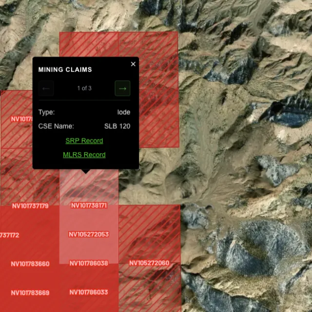
Active placer and lode claims on federal land, styled apart and linked to the official BLM record — so you know what's open before you drive.
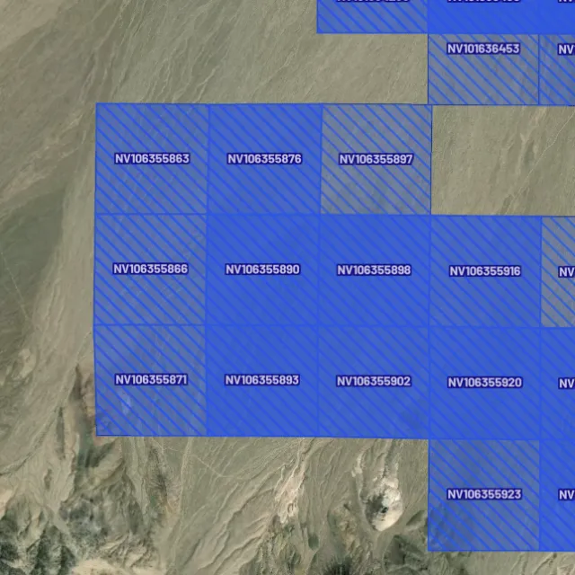
Alluvial-gold claims.

Hard-rock claims.

Public vs private.

Off-limits ground.

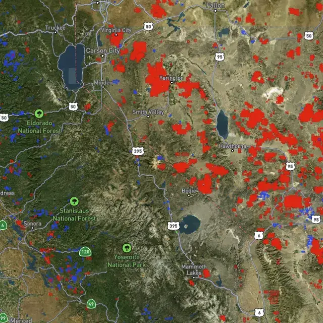
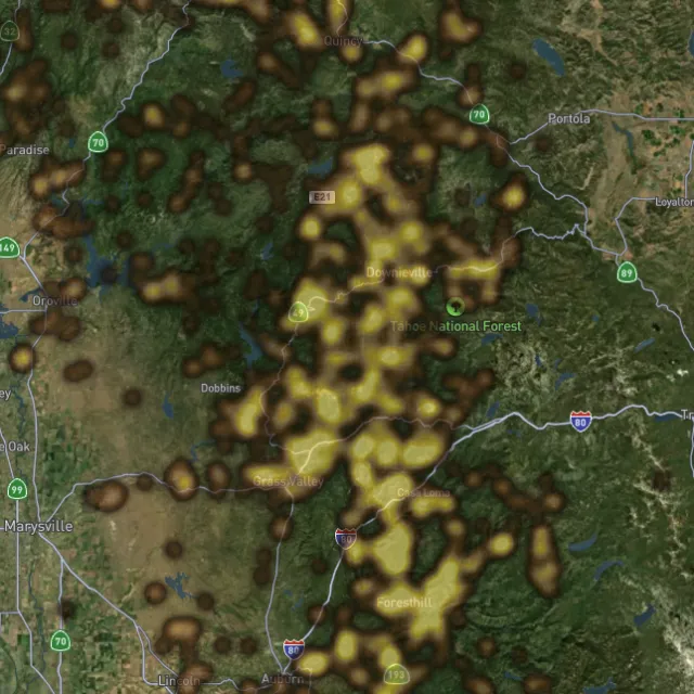
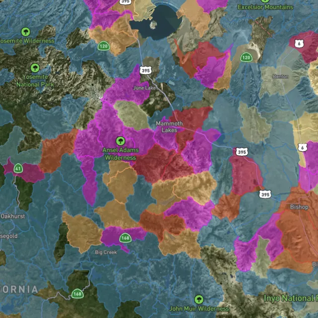
Placer and lode heatmaps built from decades of occurrences, geochemistry and geology — read the hottest ground first, then ground-truth it.
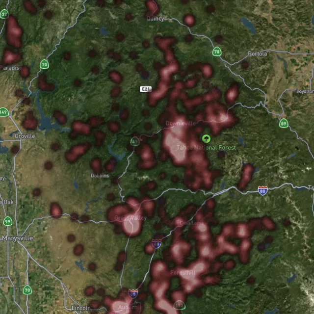
Reef prospectivity.

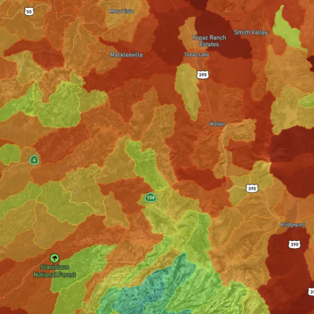
Catchments ranked.

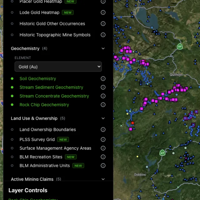
Soil, stream, pathfinders.

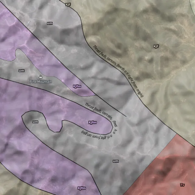
Read the host rocks.

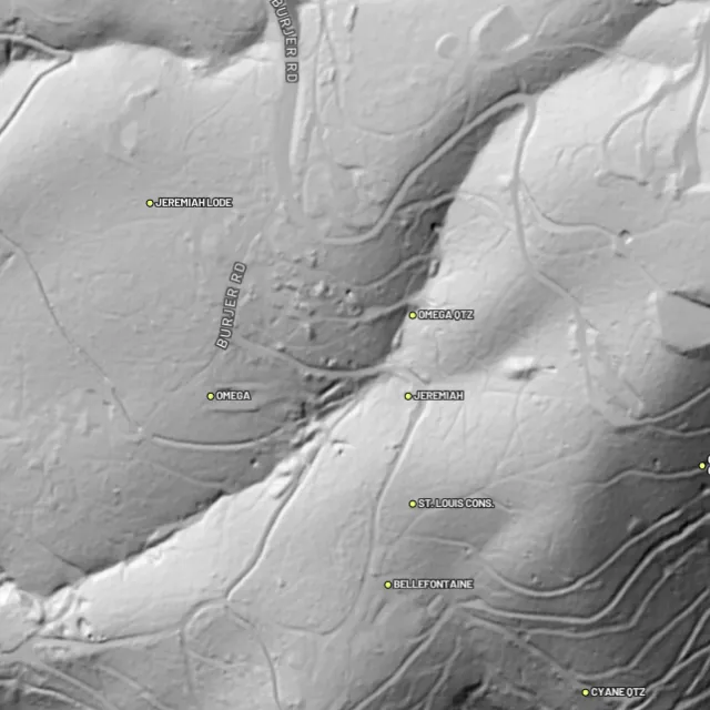
Strip away the canopy and old workings, benches and water-races jump out — rendered from any light angle, tinted by slope or elevation.
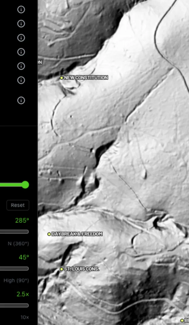
Light it any way.

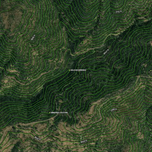
Read the gradient.

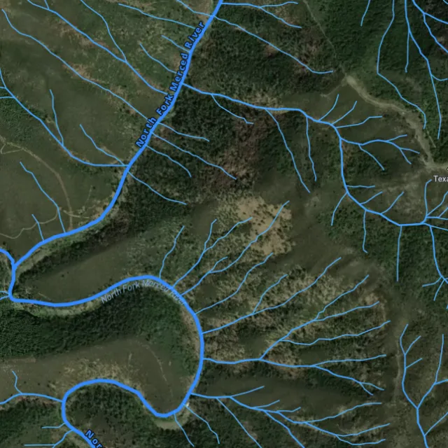
Where placer runs.

Whole gullies scored.

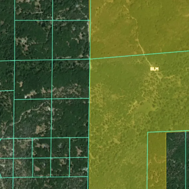
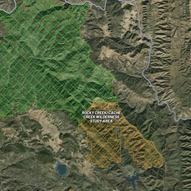
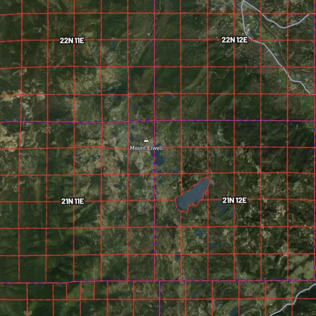
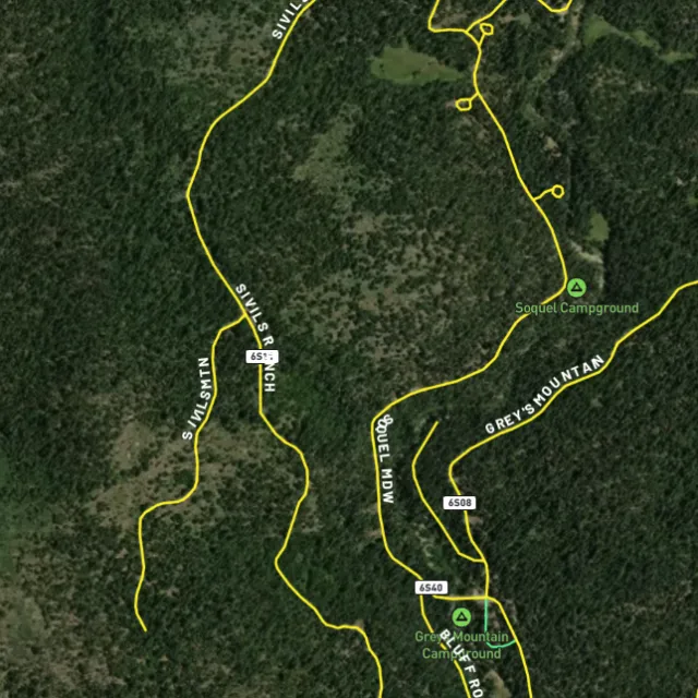
Surface-management agencies, land ownership, the PLSS grid and the roads to reach them — prospect legal, accessible public ground. A guide, not legal advice.
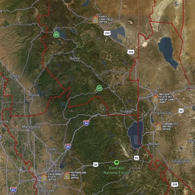
Managed public ground.

Township / range / section.

What you can drive.

Avoid these.
Every claim, every layer, every gold-bearing state — on one map you can take off-grid.
3-day free trial · Nothing charged until it ends · Cancel anytime
Virginia FAQ
If yours isn’t here, email [email protected] — we read every one.
Start free for 3 days on any yearly plan — nothing charged until the trial ends.
Yes. Gold has been found across Virginia’s gold-pyrite belt, a band of mineralized rock running northeast-southwest through the central Piedmont. Historically productive ground includes Spotsylvania, Louisa, Fluvanna, Goochland, Buckingham, and Orange counties, and by the 1830s Virginia was a leading US gold producer before the 1849 California rush pulled prospectors west. Most of the gold occurs in quartz veins and in the streams and soils that drain those old belt rocks.
The best-known ground follows the gold-pyrite belt through the central Piedmont counties, with the creeks and drainages cutting the old belt rocks being the classic targets for panning. A practical challenge in Virginia is that much of this belt is private land, so prospecting often requires landowner permission, and sorting out access is the first step. Where public land or open access exists, focus on stream gravels below known historic workings, and always confirm whether any active mining claims or private ownership cover the spot before you dig.
On private land you need the landowner’s permission first, and that’s the dominant situation across much of Virginia’s gold belt. Federal mining claims under the General Mining Law generally apply to open federal public land, which is limited in Virginia, so claim-staking is far less relevant here than in western states. For anything beyond simple recreational panning, check current land status and confirm the rules with the relevant state agency (Virginia Energy / Division of Geology and Mineral Resources) and the federal land manager before committing. [VERIFY] Confirm which Virginia agency handles permitting for non-recreational prospecting and any work on state land, and what specifically is required.
Recreational panning and metal detecting are generally allowed on open public land where no valid claim exists and you follow the applicable rules, but in Virginia the key issue is usually land ownership: much of the gold belt is private, so you need permission there. Different land managers set their own conditions, and state parks, national forest land, and other public lands each have their own rules on digging and detecting. Before you head out, check current BLM claim status (LR2000/MLRS) for any federal ground and confirm the specific site’s regulations with the managing agency. [VERIFY] Confirm current Virginia state-park and George Washington/Jefferson National Forest rules on metal detecting and panning, plus any state-specific restrictions.
Detector Maps overlays the data that matters for Virginia’s Piedmont gold belt: active mining claims, public-land boundaries (federal land such as the national forests), and USGS MRDS gold and mineral occurrences so you can see documented historic sites across Spotsylvania, Louisa, Fluvanna, Goochland, and neighboring counties. You also get USGS bedrock geology and surface geochemistry to trace the belt’s mineralized rocks, plus roads and access, contours, and watercourses to plan a route to the creeks that drain them. You can download maps for fully-offline use in the field, georeference your own maps, and Pro users get daily claim-drop alerts when new ground opens up.
Prospect smarter, not harder. .
Trip reports, layer updates, the occasional gold-find email. No spam.
© 2026 Gold Discovery Solutions Pty Ltd