Start free trial

Start free for 3 days on any yearly plan — nothing charged until the trial ends.

Open the map

Washington · Gold Maps

Washington Gold Prospecting Map

From the wire-gold creeks of Swauk-Liberty to the placer bars of the Methow, Similkameen and Columbia — every BLM claim, USGS occurrence and LiDAR-lit channel on one map. Know where the gold was, who holds the ground now, and where it's still open. Prospect smarter, not harder.

Start Free Trial

Gold in Washington

The shape of Washington gold. Unlike the gold-everywhere West, Washington's gold is concentrated and story-rich — the state had essentially one major gold rush, and the data clusters around it. Four signature zones:

  • Swauk / Liberty District (Kittitas County, central Cascades). The crown jewel and the state's oldest mining town (Liberty, est. ~1873). Placer gold hit Swauk Creek in 1867; the district is world-famous among collectors for rare crystalline wire gold and dendritic "tangled-mass" nuggets — a texture found in few places on Earth. Coarse placer, hydraulic workings, an early dredge stopped dead by a basalt ledge. This is the page's emotional anchor: a real, documented rush with a coordinate you can drive to.
  • Okanogan Highlands (Okanogan County, NE Washington). Both placer and lode country, the densest active-claim belt in the state, tied to the Similkameen River corridor and Okanogan/Conconully ground.
  • Methow Valley (Methow River & tributaries). Classic Cascades-front placer drainages feeding off glaciated highlands — fine, persistent gold in bars and gravels.
  • Columbia River placers. Long-corridor flour-gold and fine-gold bars; broad ground, lower grade, but vast and accessible.

Placer vs. lode. Washington reads as a placer-first prospector's state (creek and river gravels, glacial reworking off the Cascade crest) with a lode backbone in the Swauk and Okanogan highlands. The Prospectivity layer matters here because so much gold is glacially/hydraulically reworked — catchment logic beats guesswork.

DailyBLM mining claims refreshed from the federal record
USGSGold occurrences, mines & prospects mapped
1-metreBare-earth LiDAR hillshade where coverage exists
41 layersClaims, geochem, geology & access — one subscription
01Can I dig here?

First, find open ground.

Every claim, colour-coded

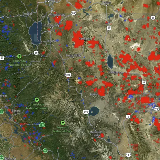
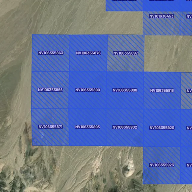
Active placer and lode claims on federal land, styled apart and linked to the official BLM record — so you know what's open before you drive.
Placer claims

Alluvial-gold claims.
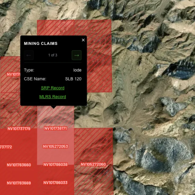
Lode claims

Hard-rock claims.
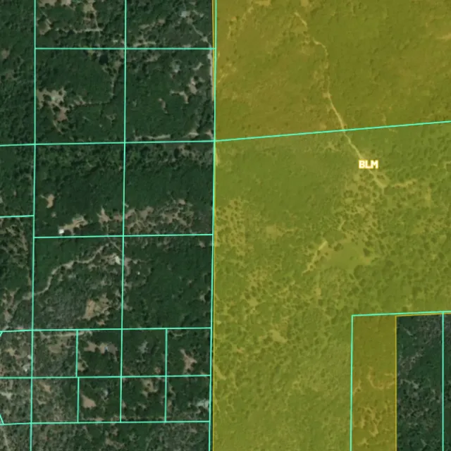
Land ownership

Public vs private.
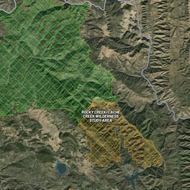
Protected areas

Off-limits ground.

02Where's the gold?

Go where the data points.

Prospectivity, scored

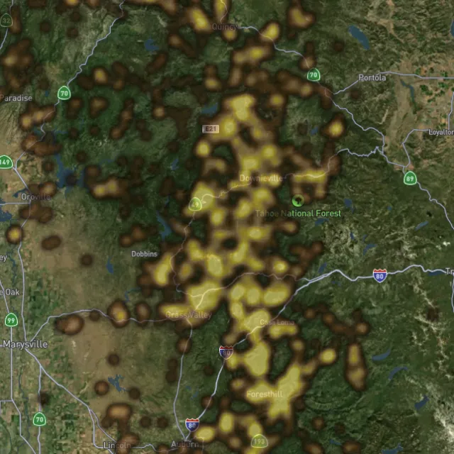
Placer and lode heatmaps built from decades of occurrences, geochemistry and geology — read the hottest ground first, then ground-truth it.
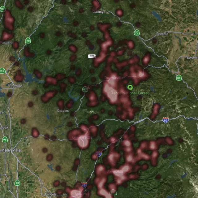
Lode heatmap

Reef prospectivity.
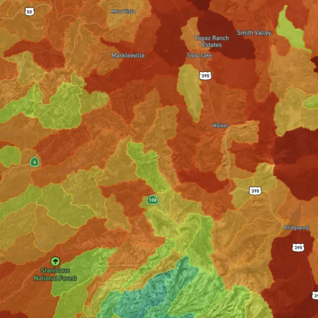
Prospectivity index

Catchments ranked.
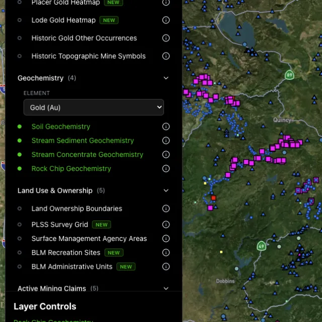
Surface geochem

Soil, stream, pathfinders.
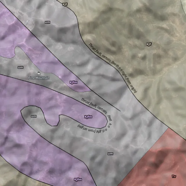
Bedrock geology

Read the host rocks.

03The edge

See the ground the brush hides.

1-metre bare-earth LiDAR

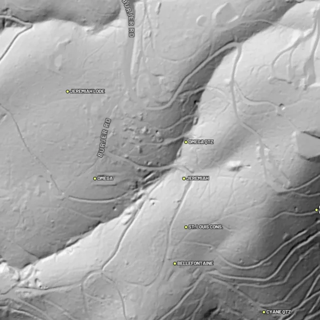
Strip away the canopy and old workings, benches and water-races jump out — rendered from any light angle, tinted by slope or elevation.
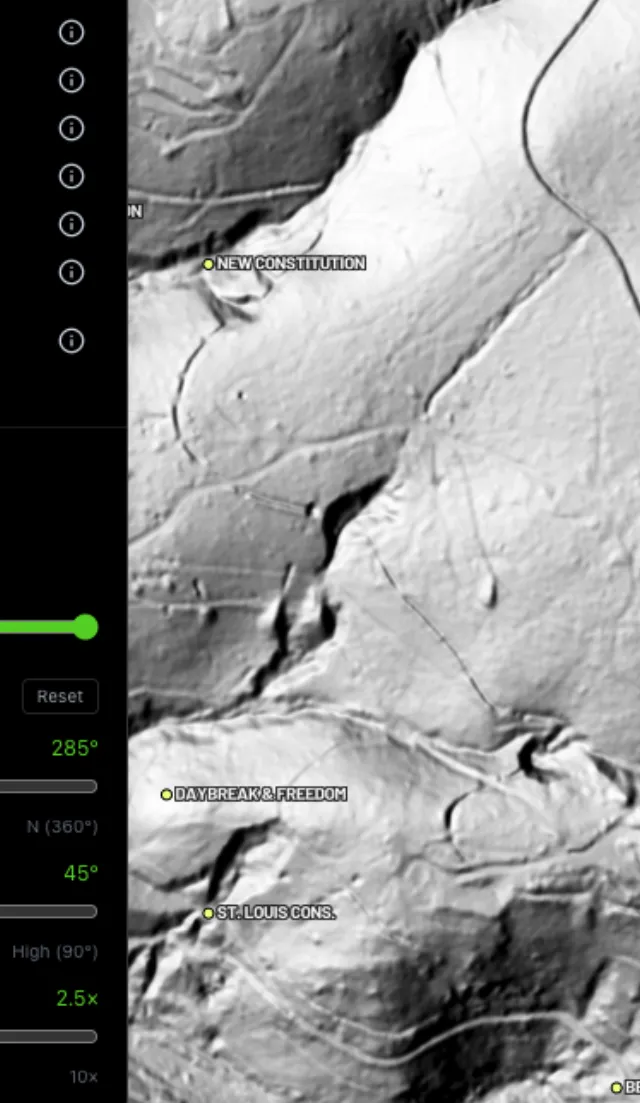
Hillshade renders

Light it any way.
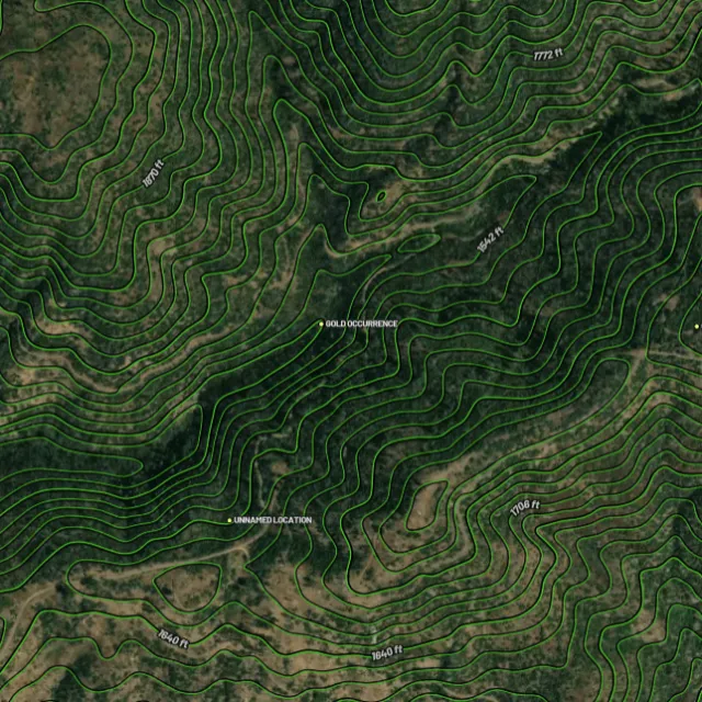
Contours

Read the gradient.
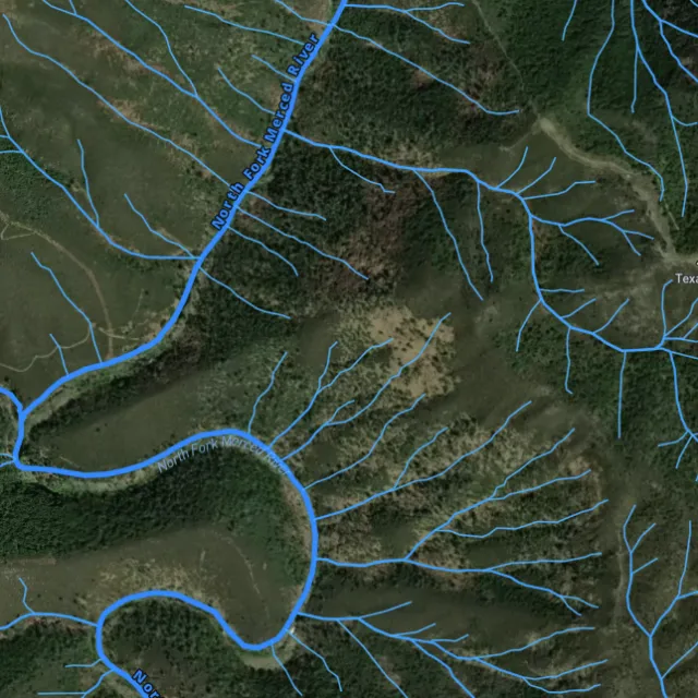
Watercourses

Where placer runs.
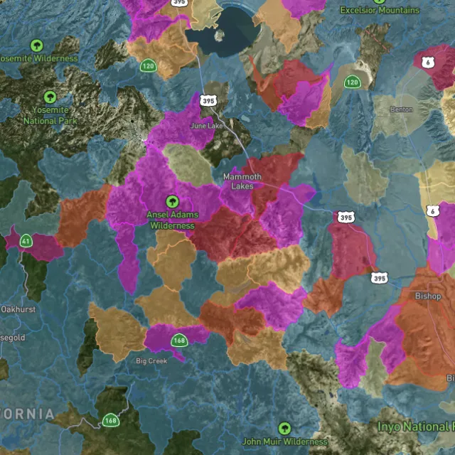
Catchment index

Whole gullies scored.

04Stay legal

Know it's open before you swing.

Public, private, or off-limits

Surface-management agencies, land ownership, the PLSS grid and the roads to reach them — prospect legal, accessible public ground. A guide, not legal advice.
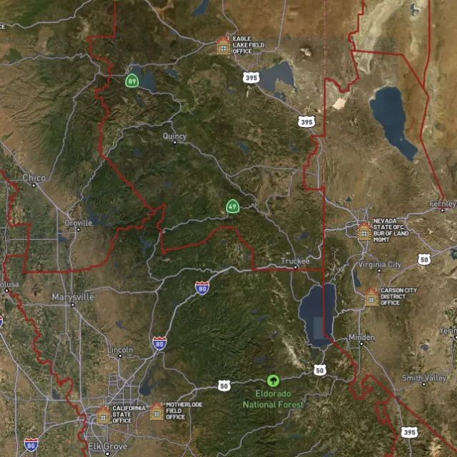
BLM land

Managed public ground.
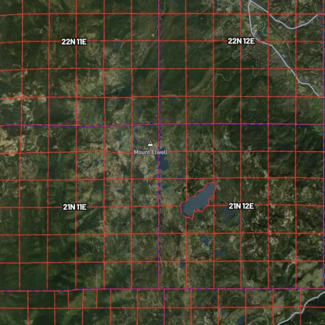
PLSS sections

Township / range / section.
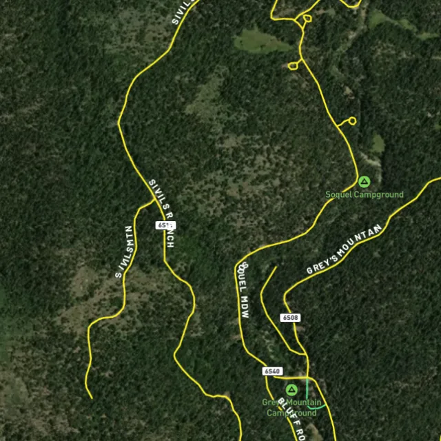
MVUM roads

What you can drive.

Protected areas

Avoid these.

Stop guessing. Start finding.

Every claim, every layer, every gold-bearing state — on one map you can take off-grid.

Start free trial

3-day free trial · Nothing charged until it ends · Cancel anytime

Washington FAQ

Your Washington gold questions, answered.

If yours isn’t here, email [email protected] — we read every one.

Start free for 3 days on any yearly plan — nothing charged until the trial ends.

Yes. Washington has produced gold since the 1860s, with both placer and lode deposits across the state. The Swauk district around Liberty in Kittitas County is one of the state’s oldest organized mining areas and is known for coarse placer gold on Swauk Creek, while the nearby Blewett (Peshastin) district in Chelan County worked rich placers on Peshastin Creek. In the northeast, the Republic district in Ferry County had one of Washington’s most consistent records of lode gold production, with more gold ground in the Okanogan and Colville country as well.

A lot of Washington’s gold country sits on USFS and BLM public land, especially the central Cascades around Liberty, Swauk Creek, and the Peshastin/Blewett area, plus the Okanogan, Colville, and Republic areas in the northeast. Swauk Creek near Liberty is a long-time recreational panning favorite, and the river drainages of the Methow, Okanogan, and Columbia systems have a strong historic record. Before you dig anywhere, confirm the ground isn’t covered by an active mining claim, since much of the proven ground is staked.

To prospect casually on open public land you generally don’t need to stake a mining claim, but you cannot work ground that someone else has already claimed. If you want exclusive rights to a spot, you’d locate a mining claim through the BLM. Any work beyond simple panning, or anything in or near a stream, can trigger additional state requirements, so check current BLM claim status (LR2000/MLRS) and current Washington regulations (Department of Natural Resources and Department of Fish and Wildlife) before you start. [VERIFY: whether specific WA permits apply to a given activity/location]

Recreational hand panning and metal detecting are generally allowed on open public land such as BLM and USFS ground where no valid claim exists and you follow the rules for that area. Washington pays close attention to in-stream work because of fish habitat, and the state’s Gold and Fish rules set out which non-motorized methods, waters, and seasons are allowed without an individual permit. Always check the current land status and the current Washington Department of Fish and Wildlife Gold and Fish rules before working in or beside a creek. [VERIFY: current WDFW Gold and Fish in-stream rules, allowed methods, and any motorized/suction-dredge restrictions]

Detector Maps overlays Washington’s gold country with BLM active mining claims and public-land boundaries so you can see what’s open versus already staked, plus USGS MRDS gold and mineral occurrences to point you toward historically proven ground like the Swauk, Blewett, Republic, and Okanogan districts. You also get USGS bedrock geology, surface geochemistry, roads and access, contours, and watercourses to help you read the terrain. You can georeference your own maps, download areas for fully offline use in the backcountry, browse community maps, and Pro members get daily claim-drop alerts.