Start free trial

Start free for 3 days on any yearly plan — nothing charged until the trial ends.

Open the map

Oregon · Gold Maps

The Oregon Gold Prospecting Map Built on Real BLM & USGS Data

Southwest Oregon's serpentine placer country and the Blue Mountains' lode belts hide the gold — but the claims, the closures, and the ground that's already taken hide the wasted weekends. See all of it on one map, drawn from BLM LR2000, USGS occurrences, and statewide LiDAR. Prospect smarter, not harder.

Start Free Trial

Gold in Oregon

Oregon is a tale of two distinct gold provinces, and the page should lean hard into that split — it's the state's most recognizable framing and a natural way to avoid template sameness.

1. The Klamath Mountains / Southwest Oregon (placer country). Centered on Jackson and Josephine counties, fed by the Rogue, Applegate, and Illinois Rivers and tributaries like Galice Creek, Sucker Creek, and Josephine Creek. This is classic serpentine/ophiolite-hosted placer ground — gold weathered out of the Klamath terranes and concentrated in stream gravels and ancient (Tertiary) channel deposits. The towns of Jacksonville, Gold Hill, Waldo, and Kerby built their names here; the 1850s Rogue River rush is the origin story. Heavy placer + small-scale dredging history; ground is a checkerboard of BLM, private, and patented mining claims.

2. The Blue Mountains / Eastern Oregon (lode + placer). Centered on Baker and Grant counties — the Sumpter/Cracker Creek, Granite, Bourne, and Greenhorn districts along the Powder River and its forks, plus the Burnt River and John Day drainages. Famous for the Sumpter Valley gold dredge (it left the iconic dredge tailing piles still visible on LiDAR today) and hard-rock mines around Baker City — the historic regional gold hub. This is where lode geology, tunnel/mill symbols, and dredge-reworked placer all converge. The Eldorado, Mormon Basin, and Quartzburg areas extend the belt.

DailyBLM mining claims refreshed from the federal record
USGSGold occurrences, mines & prospects mapped
1-metreBare-earth LiDAR hillshade where coverage exists
41 layersClaims, geochem, geology & access — one subscription
01Can I dig here?

First, find open ground.

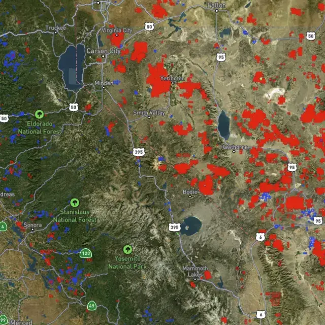
Every claim, colour-coded

Active placer and lode claims on federal land, styled apart and linked to the official BLM record — so you know what's open before you drive.
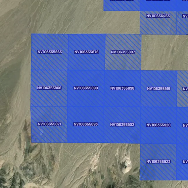
Placer claims

Alluvial-gold claims.
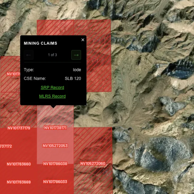
Lode claims

Hard-rock claims.
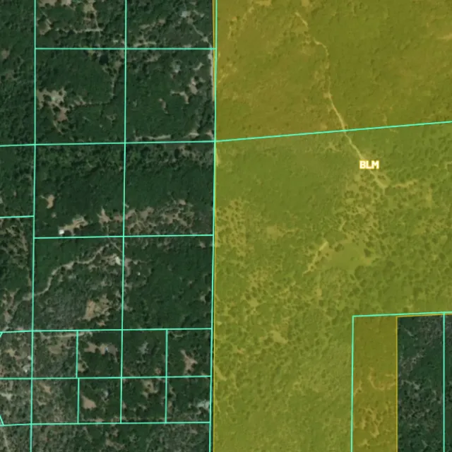
Land ownership

Public vs private.
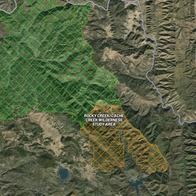
Protected areas

Off-limits ground.

02Where's the gold?

Go where the data points.

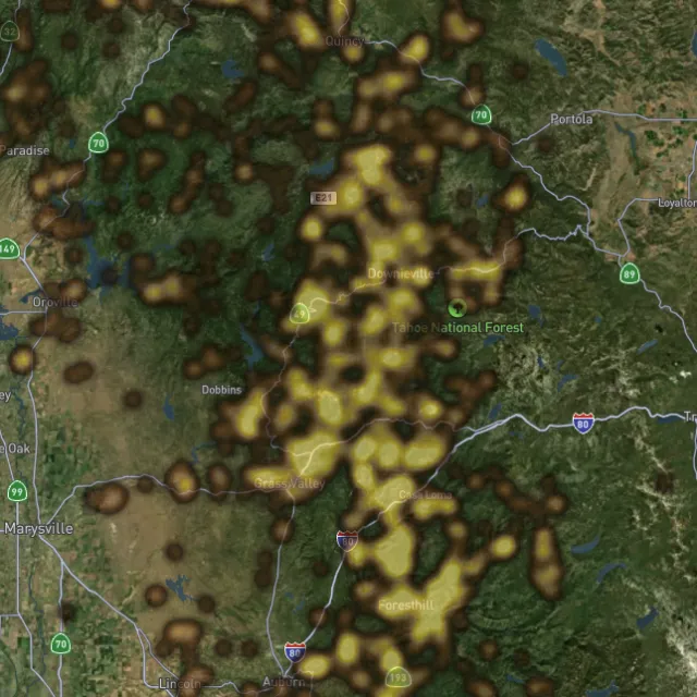
Prospectivity, scored

Placer and lode heatmaps built from decades of occurrences, geochemistry and geology — read the hottest ground first, then ground-truth it.
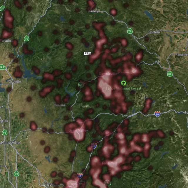
Lode heatmap

Reef prospectivity.
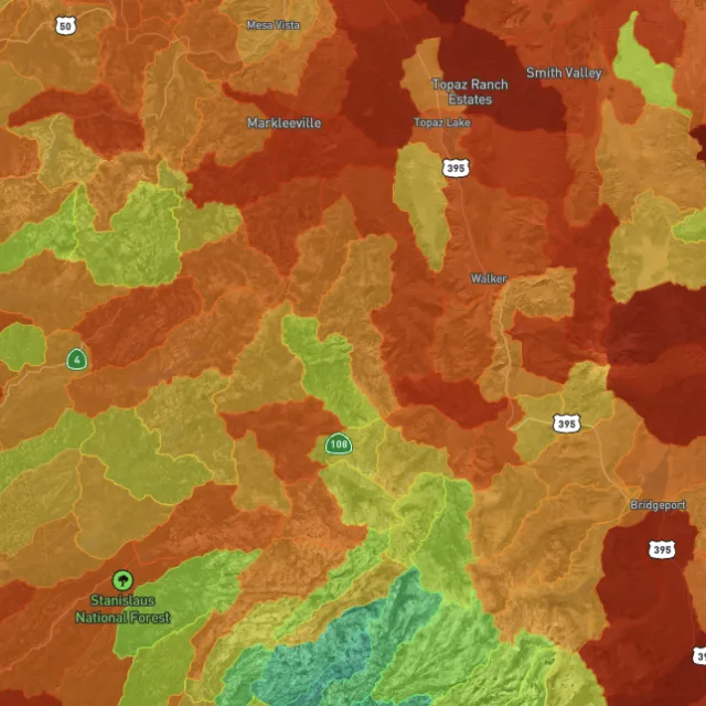
Prospectivity index

Catchments ranked.
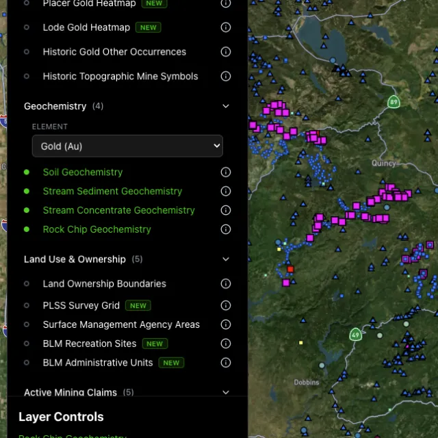
Surface geochem

Soil, stream, pathfinders.
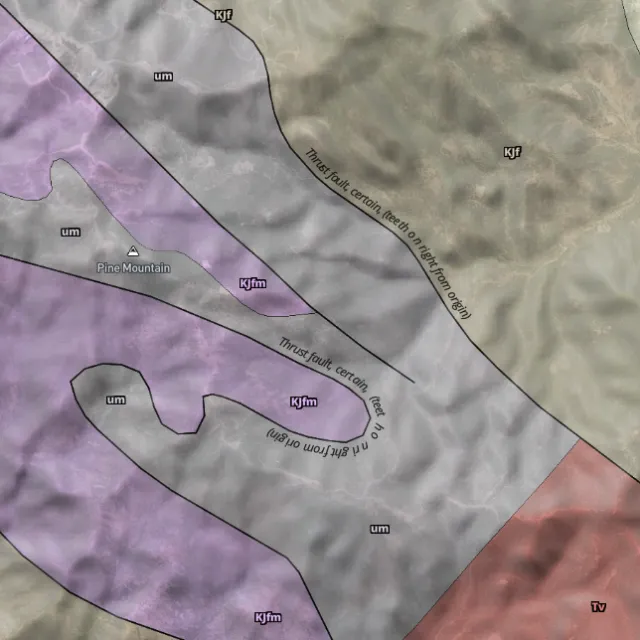
Bedrock geology

Read the host rocks.

03The edge

See the ground the brush hides.

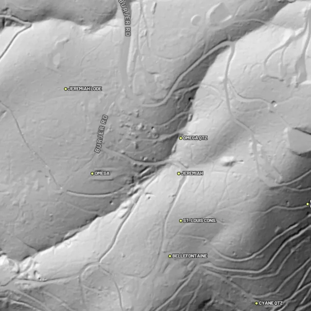
1-metre bare-earth LiDAR

Strip away the canopy and old workings, benches and water-races jump out — rendered from any light angle, tinted by slope or elevation.
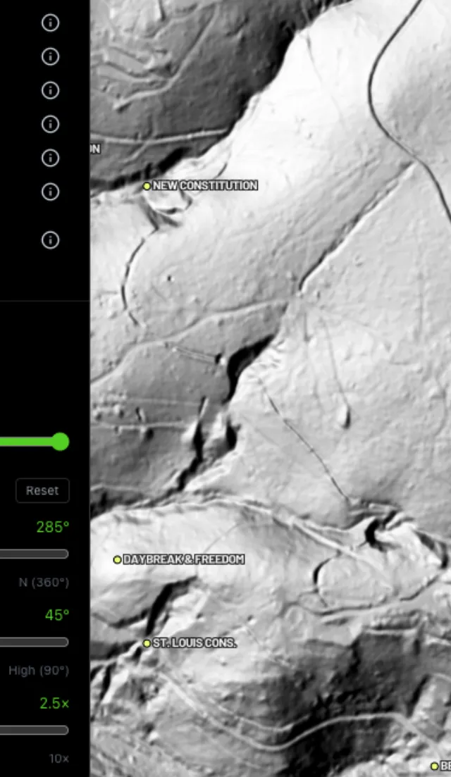
Hillshade renders

Light it any way.
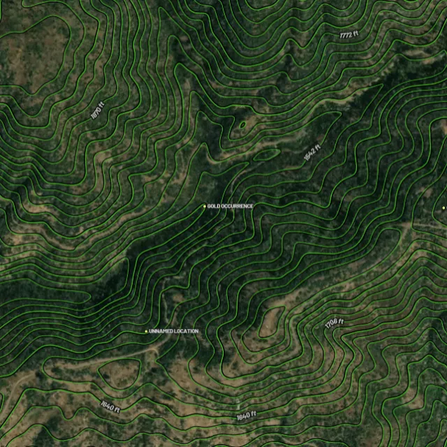
Contours

Read the gradient.
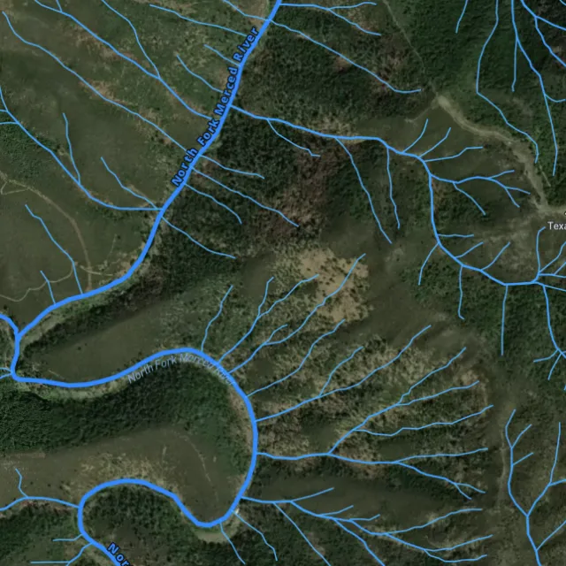
Watercourses

Where placer runs.
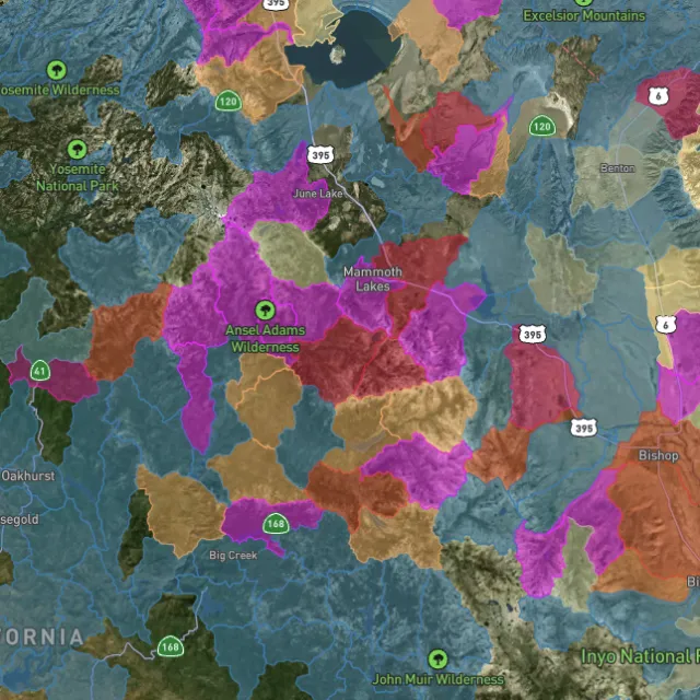
Catchment index

Whole gullies scored.

04Stay legal

Know it's open before you swing.

Public, private, or off-limits

Surface-management agencies, land ownership, the PLSS grid and the roads to reach them — prospect legal, accessible public ground. A guide, not legal advice.
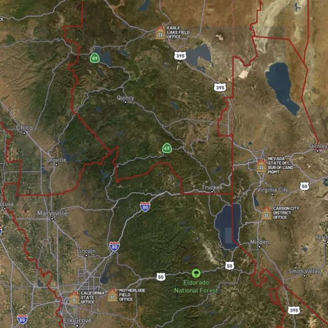
BLM land

Managed public ground.
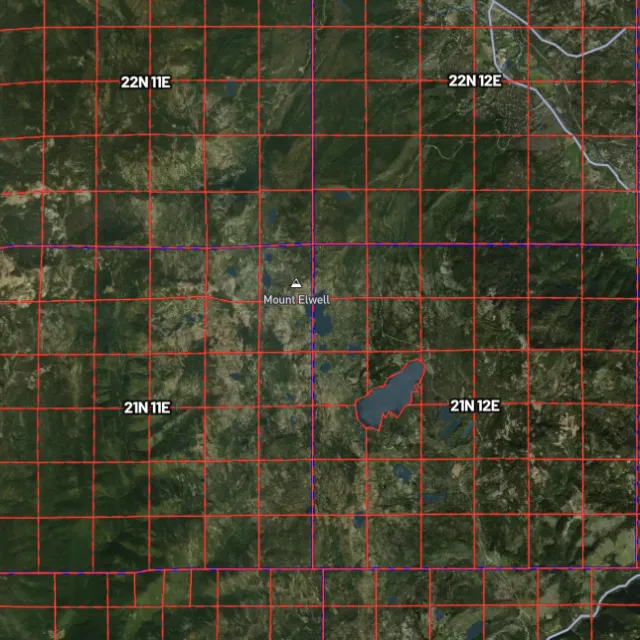
PLSS sections

Township / range / section.
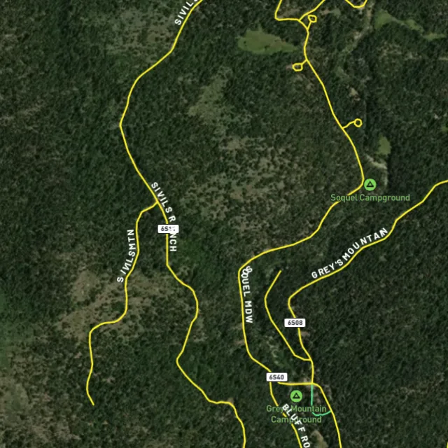
MVUM roads

What you can drive.

Protected areas

Avoid these.

Stop guessing. Start finding.

Every claim, every layer, every gold-bearing state — on one map you can take off-grid.

Start free trial

3-day free trial · Nothing charged until it ends · Cancel anytime

Oregon FAQ

Your Oregon gold questions, answered.

If yours isn’t here, email [email protected] — we read every one.

Start free for 3 days on any yearly plan — nothing charged until the trial ends.

Yes. Oregon has a long gold-mining history, and gold has been found across two main regions: the Blue Mountains of eastern Oregon, centered on Baker County around Baker City, Sumpter, and Granite, and the Klamath Mountains of southwestern Oregon in Josephine and Jackson counties along the Rogue and Applegate rivers. Both districts saw heavy placer (stream gravel) and lode mining from the 1850s onward, and they remain the areas most associated with prospecting today.

The most productive ground historically lies in eastern Oregon’s Baker, Sumpter, and Granite areas and in the southwestern Rogue and Applegate drainages near Grants Pass and Medford, much of it within Wallowa-Whitman and Rogue River-Siskiyou National Forest land. Recreational prospecting is generally possible on open BLM and USFS public land where no valid mining claim exists, but large parts of these districts are actively claimed. Always confirm an area’s current claim status before you dig, and use nearby placer history as a guide to where gold has been found before.

You don’t need to stake a mining claim for casual recreational panning or sluicing on open public land, but you cannot work ground already covered by someone else’s valid claim. Motorized or in-stream equipment, and any work in or near waterways, can trigger permitting and seasonal restrictions under Oregon’s rules. Check current BLM claim status (MLRS/LR2000) before prospecting, and confirm the requirements for your specific site and method with the BLM and the Oregon Department of Geology and Mineral Industries (DOGAMI) and Department of State Lands.

Recreational gold panning and metal detecting are generally allowed on open public land managed by the BLM and Forest Service, provided no valid claim covers the spot and you follow the managing agency’s rules. Restrictions commonly apply in state parks, wilderness areas, and on private property, and in-stream methods such as dredging and motorized sluicing are tightly regulated in Oregon, particularly in waters with sensitive fish habitat. Because Oregon’s rules on suction dredging and in-stream work have changed over the years, verify the current regulations with the BLM and Oregon’s state agencies before using anything beyond a hand pan.

For Oregon, Detector Maps overlays active BLM mining claims so you can see which ground is taken, alongside BLM and USFS public-land boundaries to help you find areas that are legally open across the Blue Mountains and Klamath Mountains. You also get USGS MRDS gold and mineral occurrence points, bedrock geology, and surface geochemistry to help you target known mineralized ground, plus roads and access, contours, and watercourses for planning trips into areas like the Sumpter and Applegate districts. You can georeference your own maps, download regions for fully offline use in the field, browse community maps, and Pro members get daily claim-drop alerts when claims are released near you.