Start free trial

Start free for 7 days on a yearly plan — nothing charged until the trial ends.

Open the map

Alaska · Gold Maps

Where to Find Gold in Alaska — The Last Great Placer Frontier, Mapped

A century after the stampedes, the Fortymile, Birch Creek, Fairbanks and Nome placers are still giving up color. The catch isn't the gold up here. It's the access: federal, State of Alaska, and Native corporation lands all wear the same green on a paper map. Detector Maps draws the lines BLM, the State DNR, and USGS already know about, so you spend the short season digging instead of guessing whose ground you're standing on. Prospect smarter, not harder.

Start Free Trial

Gold in Alaska

The placer frontier, district by district. Alaska is the most placer-dominant gold geography we map, and its main districts are bucket-list ground:

  • Fairbanks district (Interior), the single largest historical producer in Alaska. Dredge-worked creeks like Cleary, Goldstream, Ester and Fish Creek accounted for more than half the state's gold through the mid-20th century. The pay-streaks run deep, buried under muck and permafrost, which is where the prospectivity layers and Pro's LiDAR earn their keep.
  • Fortymile district (east-central, near the Yukon line), Alaska's first major gold strike (1886, before the Klondike), right next to the Klondike country, with more than 568,000 oz produced historically. Its tributary creek placers (Chicken, Jack Wade, Franklin) are still actively worked.
  • Nome / Seward Peninsula, the only signature ocean-beach placer district in the US: fine gold concentrated in the Bering Sea beach sands and offshore, plus Anvil Creek and the tundra creeks behind town. Beach, creek and offshore gold together make it a deposit model unlike any other state's.
  • Klondike-adjacent corridor: the Fortymile, Eagle and Yukon River country that fed the 1898 stampede, with placer-rich drainages along the international border.
  • Other gold regions: Circle / Birch Creek, the Kenai Peninsula (Hope and Resurrection Creek), Juneau / Gastineau (the lode exception, with the Treadwell and Alaska-Juneau hard-rock mines) and the Kuskokwim / Iditarod placer belts.

Signature rivers & waters: Fortymile River, Yukon River, Birch Creek, Goldstream Creek, Resurrection Creek, Anvil Creek and the Bering Sea beaches at Nome. Drainage and bench geometry is everything in placer country: the Water & Roads and contour layers map the meander cutoffs and gravel bars where heavy gold drops.

DailyBLM mining claims refreshed from the federal record
USGSGold occurrences, mines & prospects mapped
1-metreBare-earth LiDAR hillshade with Pro, where coverage exists
41 layersClaims, geochem, geology & access — one subscription
01Can I dig here?

First, find open ground.

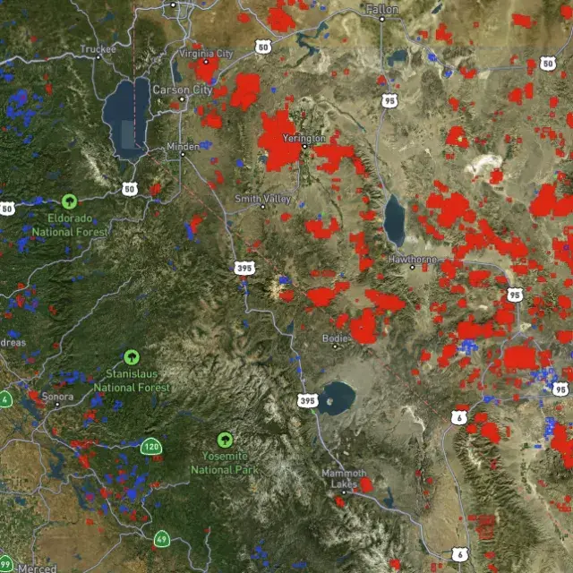
Every claim, colour-coded

Active placer and lode claims on federal land, styled apart and linked to the official BLM record — so you know what's open before you drive.
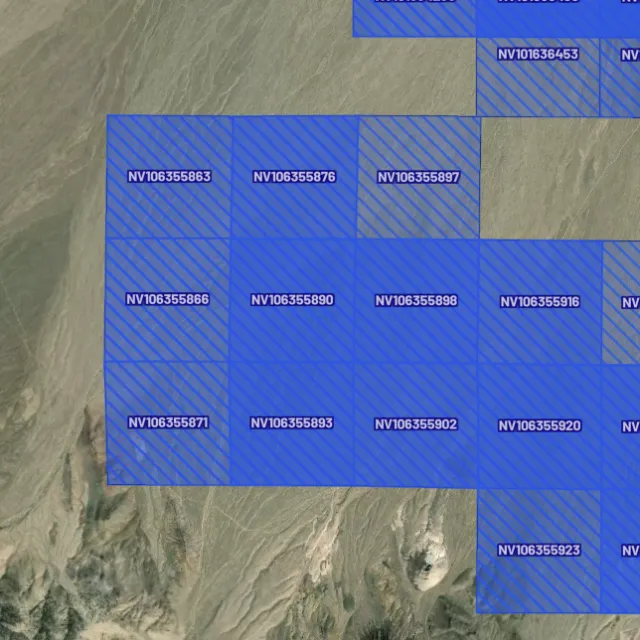
Placer claims

Alluvial-gold claims.
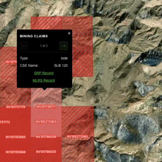
Lode claims

Hard-rock claims.
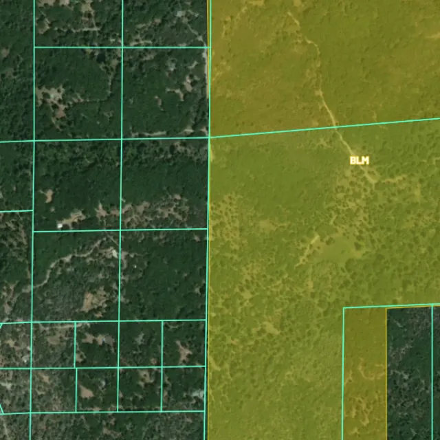
Land ownership

Public vs private.
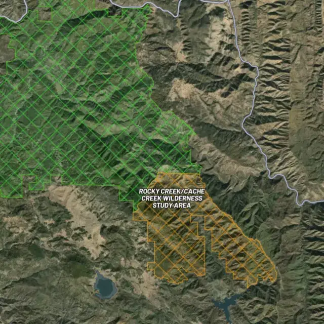
Protected areas

Off-limits ground.

02Where's the gold?

Go where the data points.

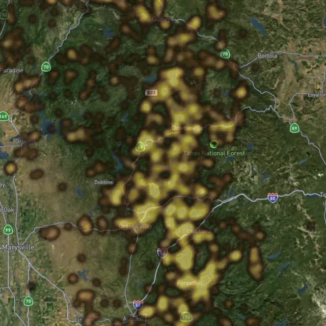
Prospectivity, scored

Placer and lode heatmaps built from decades of occurrences, geochemistry and geology — read the hottest ground first, then ground-truth it.
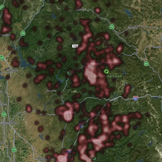
Lode heatmap

Reef prospectivity.
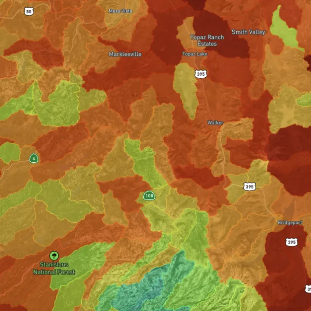
Prospectivity index

Catchments ranked.
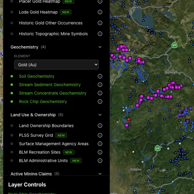
Surface geochem

Soil, stream, pathfinders.
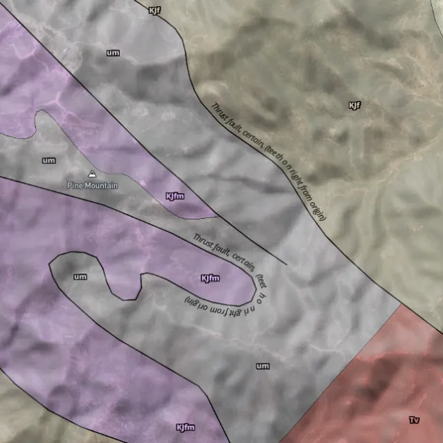
Bedrock geology

Read the host rocks.

03The edge

See the ground the brush hides.

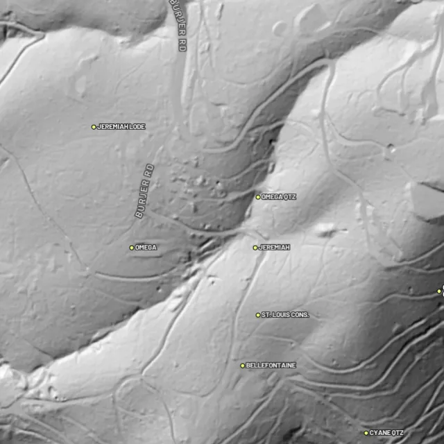
1-metre bare-earth LiDAR with Pro

Strip away the canopy and old workings, benches and water-races jump out — rendered from any light angle, tinted by slope or elevation.
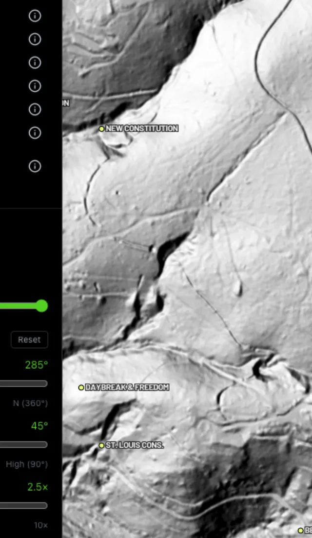
Hillshade renders

Light it any way.
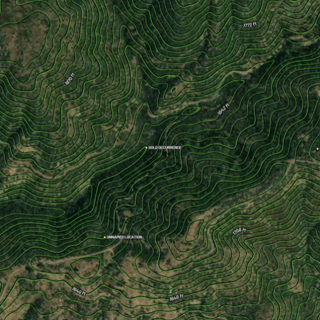
Contours

Read the gradient.
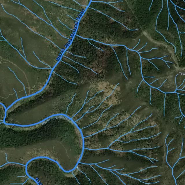
Watercourses

Where placer runs.
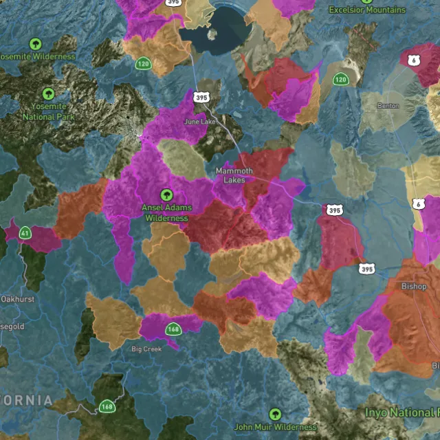
Catchment index

Whole gullies scored.

04Stay legal

Know it's open before you swing.

Public, private, or off-limits

Surface-management agencies, land ownership, the PLSS grid and the roads to reach them — prospect legal, accessible public ground. A guide, not legal advice.
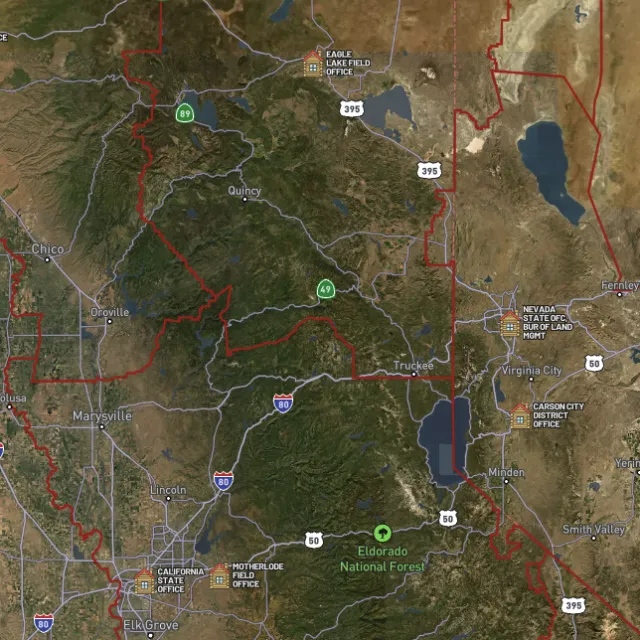
BLM land

Managed public ground.
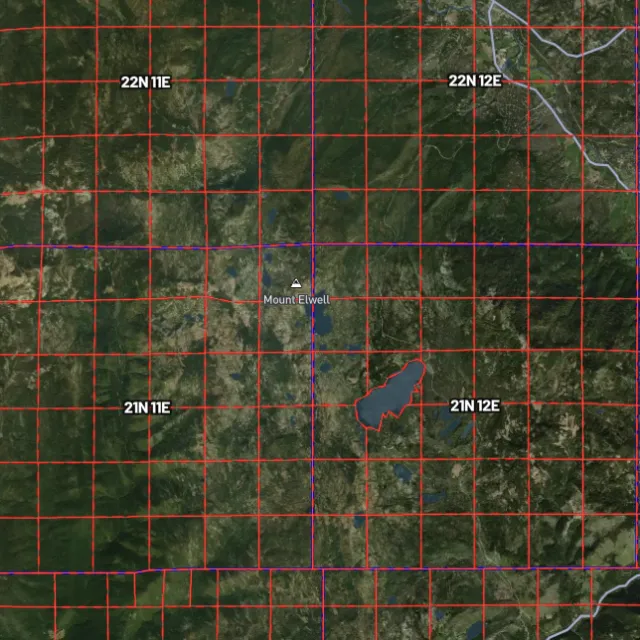
PLSS sections

Township / range / section.
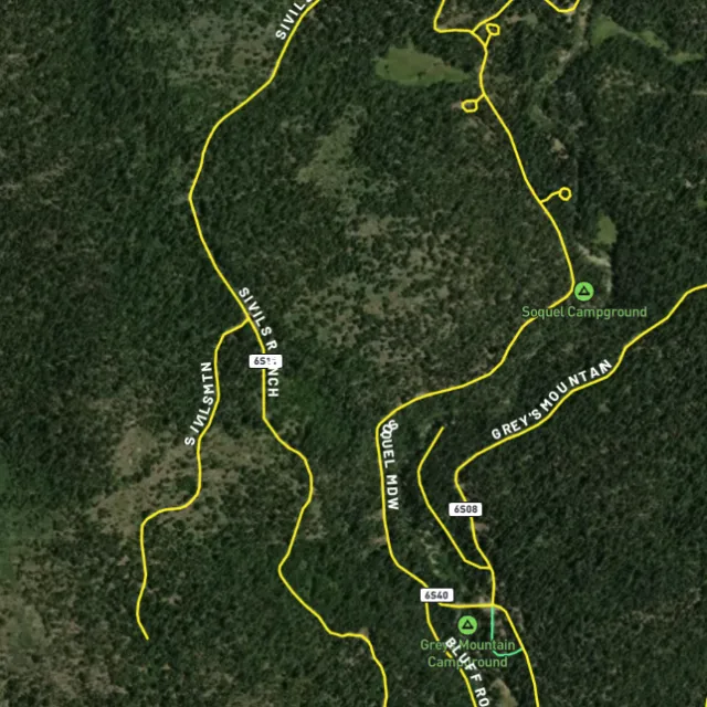
MVUM roads

What you can drive.

Protected areas

Avoid these.

Stop guessing. Start finding.

Every claim, every layer, every gold-bearing state — on one map you can take off-grid.

Start free trial

7-day free trial · Nothing charged until it ends · Cancel anytime

Alaska FAQ

Your Alaska gold questions, answered.

If yours isn’t here, email [email protected] — we read every one.

Start free for 7 days on a yearly plan — nothing charged until the trial ends.

Yes — Alaska is one of the most gold-rich states in the country, with major placer and lode production dating back to the late 1800s. Gold has historically been found around Fairbanks, the Fortymile and Circle districts, the Juneau gold belt in the southeast, and famously in the beach and offshore placers at Nome on the Seward Peninsula. These are proven goldfields that still draw prospectors today.

Alaska has vast federal land (BLM and USFS) and state land, much of it open to recreational prospecting, including ground around the historic Fairbanks, Fortymile, Circle, and Nome districts. Productive ground often follows creek drainages and stream gravels where placer gold has historically concentrated. Always confirm an area is open and not covered by a valid mining claim before you work it — check current BLM claim status (MLRS) and Alaska’s state land records first.

Casual recreational prospecting with hand tools like a pan or small sluice is generally allowed on open public land where no valid claim exists, but you do not own the gold-bearing ground unless you stake and record a claim. Alaska also sets aside some state recreational mining areas for public use, and mechanized or larger-scale operations typically require permits. Verify claim status through BLM (MLRS) and check current rules with the Alaska Department of Natural Resources before you dig.

Recreational gold panning and metal detecting are generally permitted on open public land (BLM and USFS) and on many Alaska state lands where no valid claim exists and you follow posted rules. Alaska also designates some state areas that are open to the public for recreational hand mining. Avoid claimed ground, private property, and protected areas such as certain national park units, and confirm current regulations with the Alaska Department of Natural Resources and the relevant land agency before you go.

Detector Maps overlays Alaska with BLM active mining claims so you can see what ground is taken, plus BLM and USFS public-land boundaries to find where access is generally open. It also plots MRDS gold and mineral occurrences from the USGS across districts like Fairbanks, Fortymile, and Nome, layered over bedrock geology and surface geochemistry to help you read the ground. Roads and access, contours, and watercourses round it out, and you can georeference your own maps and download areas for fully-offline use in the field.