Detector Maps
Start free for 3 days on any yearly plan — nothing charged until the trial ends.
Open the mapGeorgia · Gold Maps
Twenty years before California, prospectors swarmed the North Georgia mountains around Dahlonega. The Chestatee and Etowah placers, the Yahoola Creek diggings, the old lode mines along the belt — they're still on the map. We put the USGS occurrences, LiDAR hillshade, active claims, and geochemistry on one screen so you can read the belt like the old-timers couldn't. Prospect smarter, not harder.
Start Free TrialThe Dahlonega Gold Belt is the spine of the whole story. Georgia's gold runs in a northeast–southwest trending belt through the Blue Ridge and Piedmont — the Dahlonega–Auraria district in Lumpkin County is its heart, with an estimated 400,000–500,000 oz pulled from the district historically. This is lode-and-placer country: hard-rock saprolite gold weathered out of quartz veins into the soil and streams, then concentrated in the rivers below.
Signature rivers and creeks (placer): - Chestatee River — major Chattahoochee tributary with documented placer deposits and a string of historic mines along its banks; sections cross Chattahoochee NF where hand panning is allowed. - Etowah River — drains the western side of the belt; known placer gold, with feeder creeks worth sampling. - Yahoola Creek, Cane Creek and the dense net of small Lumpkin/White County tributaries — the original diggings that fed the 1828–29 rush.
Lode/saprolite context: Georgia gold favors contact zones — mica schist against granite, or mica schist against hornblende schist — where the quartz veins formed. That contact-zone rule is exactly what the State Geology + Prospectivity layers are built to expose. The famous lode mines (e.g., the Calhoun Mine near Dahlonega) sit on these structures.

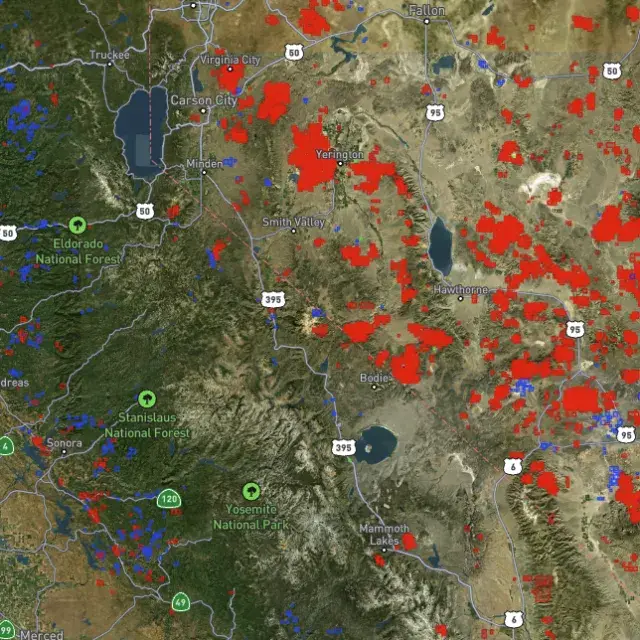
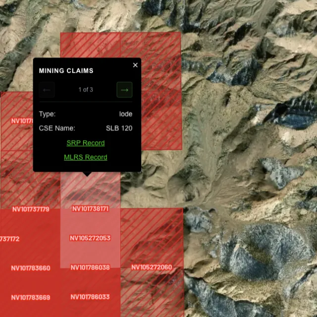
Active placer and lode claims on federal land, styled apart and linked to the official BLM record — so you know what's open before you drive.
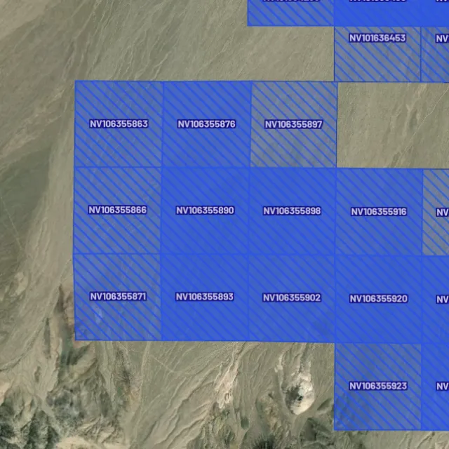
Alluvial-gold claims.

Hard-rock claims.

Public vs private.

Off-limits ground.

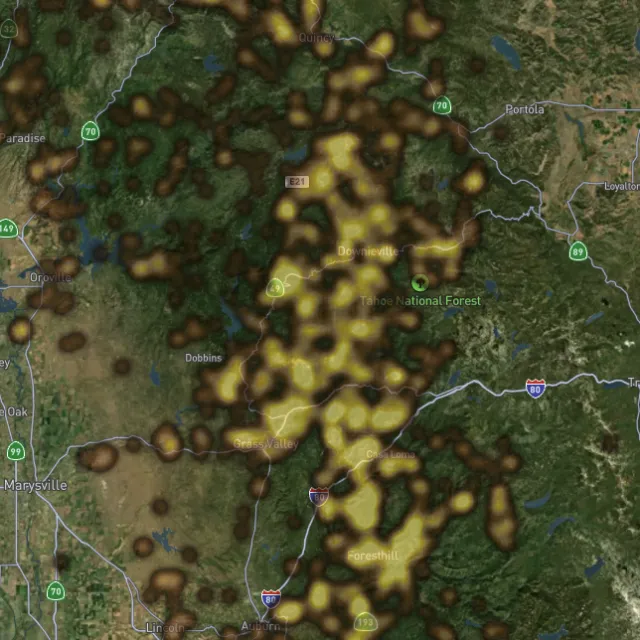
Placer and lode heatmaps built from decades of occurrences, geochemistry and geology — read the hottest ground first, then ground-truth it.
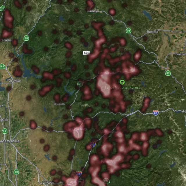
Reef prospectivity.

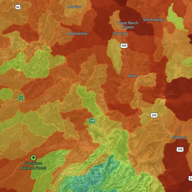
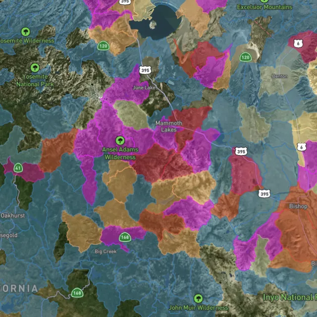
Catchments ranked.

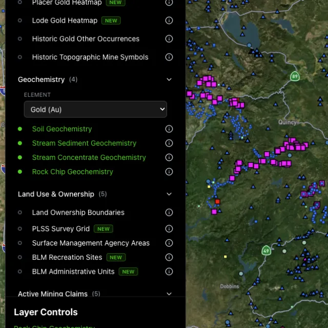
Soil, stream, pathfinders.

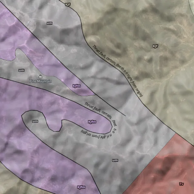
Read the host rocks.

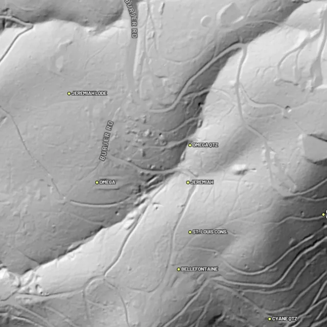
Strip away the canopy and old workings, benches and water-races jump out — rendered from any light angle, tinted by slope or elevation.
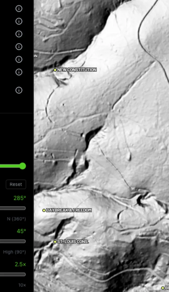
Light it any way.

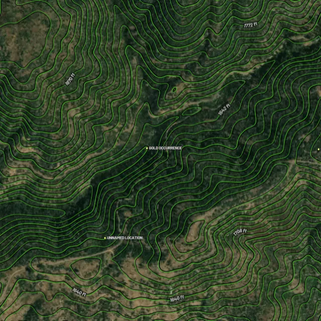
Read the gradient.

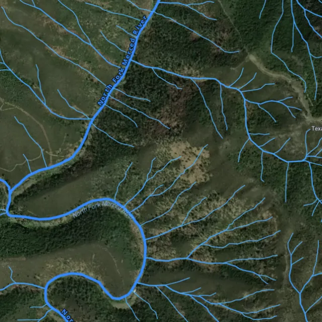
Where placer runs.

Whole gullies scored.

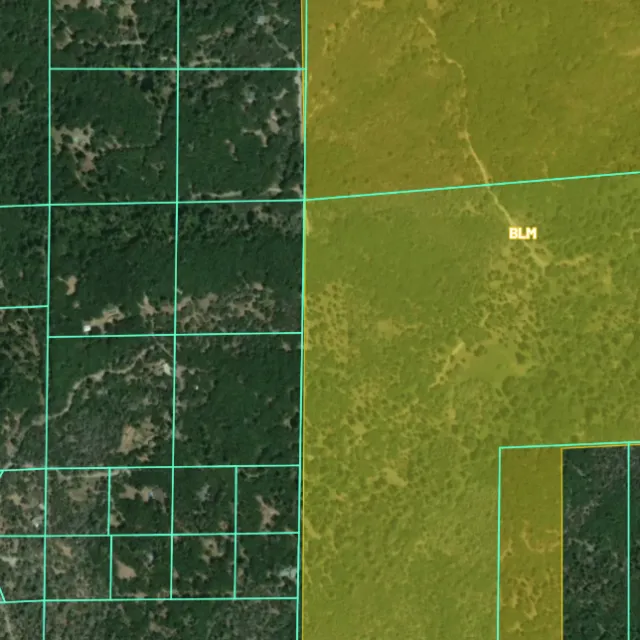
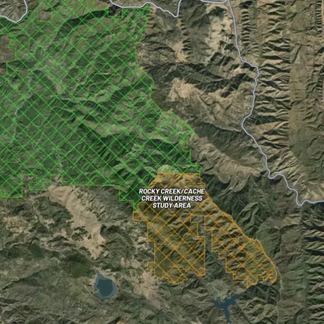
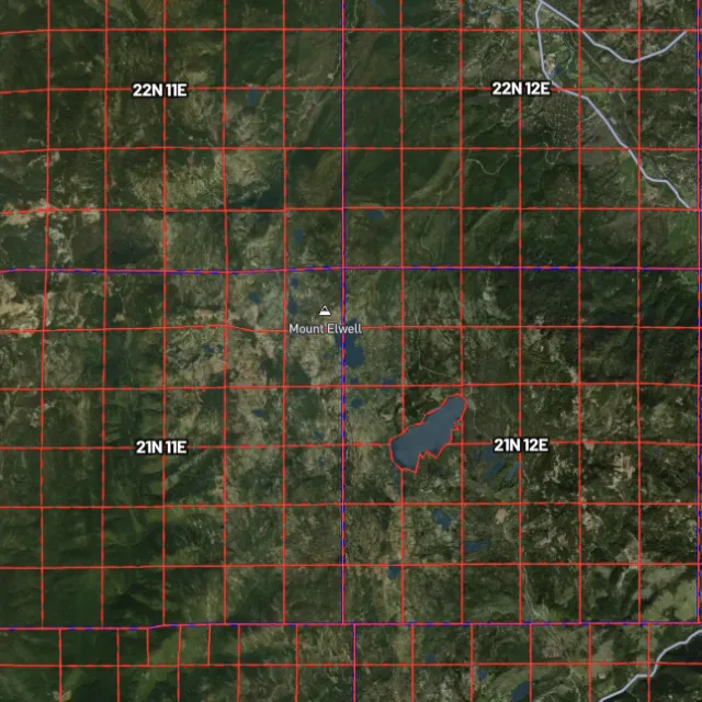
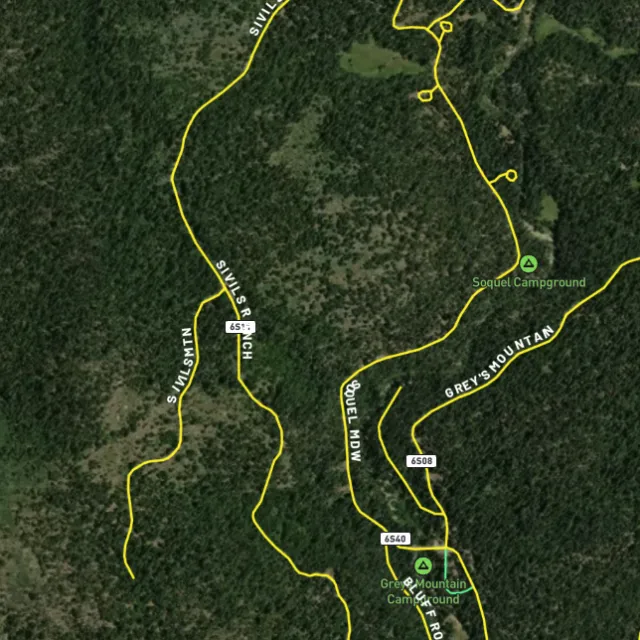
Surface-management agencies, land ownership, the PLSS grid and the roads to reach them — prospect legal, accessible public ground. A guide, not legal advice.
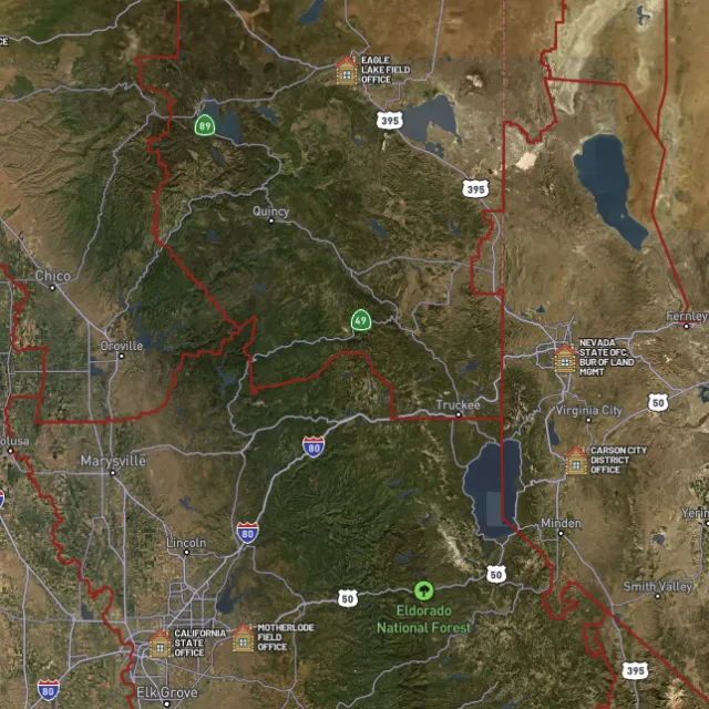
Managed public ground.

Township / range / section.

What you can drive.

Avoid these.
Every claim, every layer, every gold-bearing state — on one map you can take off-grid.
3-day free trial · Nothing charged until it ends · Cancel anytime
Georgia FAQ
If yours isn’t here, email [email protected] — we read every one.
Start free for 3 days on any yearly plan — nothing charged until the trial ends.
Yes. Georgia was the site of the first major U.S. gold rush, which kicked off around Dahlonega and Auraria in 1828-29 and was rich enough to support a U.S. branch mint at Dahlonega until 1861. Gold has historically been found along the Dahlonega Gold Belt across north Georgia, through counties such as Lumpkin, White, Cherokee, Bartow, Paulding, and Haralson, and along the Carroll County Gold Belt around Villa Rica in Carroll and Douglas Counties. This is proven, well-documented gold ground.
The historic gold ground follows the Dahlonega Gold Belt across the north Georgia Piedmont and the Carroll County belt near Villa Rica, with old districts around Dahlonega, Auraria, the South Canton area in Cherokee County, and Burnt Hickory Ridge in Paulding County. Be aware that much of this belt is private land, so prospecting almost always requires the landowner’s permission, and several pay-to-dig and tourist gold operations near Dahlonega offer legal access for a fee. Always confirm current ownership and check for valid mining claims before you dig anywhere.
Federal mining claims are mostly a Western-states matter; Georgia has very little federal public land, so the bigger question here is usually private ownership and trespass rather than staking a claim. On the limited public land that does exist, such as the Chattahoochee-Oconee National Forest, you should check the managing agency’s current rules before prospecting. Verify claim and land status through the BLM (LR2000/MLRS) and confirm regulations with the U.S. Forest Service and the Georgia Department of Natural Resources, and get written permission for any private land.
On open public land where no valid claim exists, recreational panning and metal detecting are generally allowed when you follow the managing agency’s rules. In Georgia, though, most of the gold belt is privately owned, so detecting or panning there without the owner’s permission is trespassing. State parks, historic sites, and similar protected areas typically restrict or prohibit gold panning and metal detecting, so check the specific site’s rules first, and confirm current National Forest and Georgia DNR regulations before you go. [VERIFY] Confirm current Georgia state park / historic site metal-detecting and panning rules and any National Forest restrictions.
Detector Maps brings Georgia’s gold geology together in one place: USGS MRDS gold and mineral occurrences across the Dahlonega and Carroll County belts, bedrock geology, surface geochemistry, and the watercourses and contours that help you read the ground. Its nationwide layers for BLM active mining claims and BLM/USFS public-land boundaries let you see what’s claimed or public versus private wherever federal land does occur, alongside roads and access. You can georeference your own maps, download areas for fully offline use in the field, browse community maps, and on the Pro tier get daily claim-drop alerts.
Prospect smarter, not harder. .
Trip reports, layer updates, the occasional gold-find email. No spam.
© 2026 Gold Discovery Solutions Pty Ltd