Start free trial

Start free for 3 days on any yearly plan — nothing charged until the trial ends.

Open the map

North Carolina · Gold Maps

North Carolina Gold Prospecting Map — Where America's Gold Rush Began

A 17-pound nugget pulled from a Cabarrus County creek in 1799 started America's first gold rush. Detector Maps stacks USGS occurrences, Carolina Slate Belt geology, LiDAR-stripped terrain, and parcel-level ownership over that historic ground — so you know which Piedmont creek to work, and exactly whose land it crosses, before you knock on a single door.

Start Free Trial

Gold in North Carolina

The story that makes NC unique: North Carolina is the birthplace of US gold mining. In 1799, 12-year-old Conrad Reed found a heavy yellow rock in Little Meadow Creek, Cabarrus County — the Reed Gold Mine, now a State Historic Site, became the first documented gold discovery in the nation. For roughly 30 years before the 1849 California rush, NC was effectively the only domestic gold producer, and the Charlotte Mint was built in 1837 specifically to coin Carolina and Southern gold. This is the page where "America's first gold rush" is the literal, defensible hook — no other state can claim it.

The geologic spine — the Carolina Slate Belt: A NE–SW trending belt of metamorphosed volcanic and sedimentary rock running diagonally through the central Piedmont (roughly Charlotte up through the Uwharrie region toward Virginia). This belt hosts most of NC's lode gold — disseminated and vein-hosted deposits in altered volcanics. It is the single most important geological context on the page and the reason the State Geology (SGMC) and Prospectivity layers carry weight here.

Two production styles, both present: - Lode / hard-rock: vein and disseminated gold in the Slate Belt — the Gold Hill district (Rowan/Cabarrus), Reed, and the Cotton Patch Mine (Stanly County), one of the better-known historic placer-and-lode localities. - Placer: Piedmont creeks and branches draining the Slate Belt carry shed gold — saprolite (deeply weathered bedrock) means gold can sit in soft, decomposed ground, not just hard rock. Rivers/branches in Montgomery, Stanly, Cabarrus, Rowan, Union, Mecklenburg, Davidson, Randolph, and the Uwharrie watershed are the signature placer ground.

DailyBLM mining claims refreshed from the federal record
USGSGold occurrences, mines & prospects mapped
1-metreBare-earth LiDAR hillshade where coverage exists
41 layersClaims, geochem, geology & access — one subscription
01Can I dig here?

First, find open ground.

Every claim, colour-coded

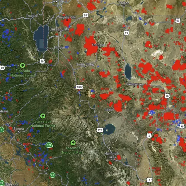
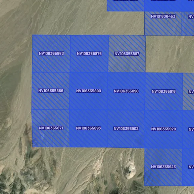
Active placer and lode claims on federal land, styled apart and linked to the official BLM record — so you know what's open before you drive.
Placer claims

Alluvial-gold claims.
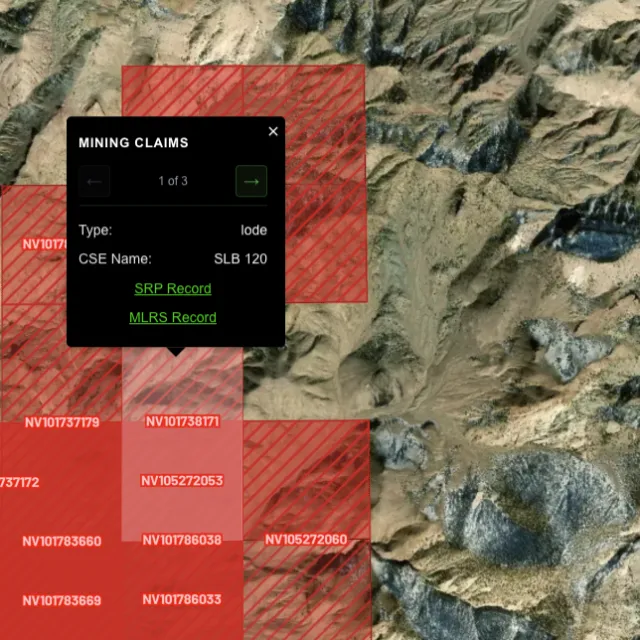
Lode claims

Hard-rock claims.
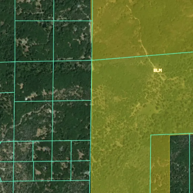
Land ownership

Public vs private.
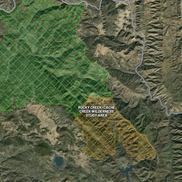
Protected areas

Off-limits ground.

02Where's the gold?

Go where the data points.

Prospectivity, scored

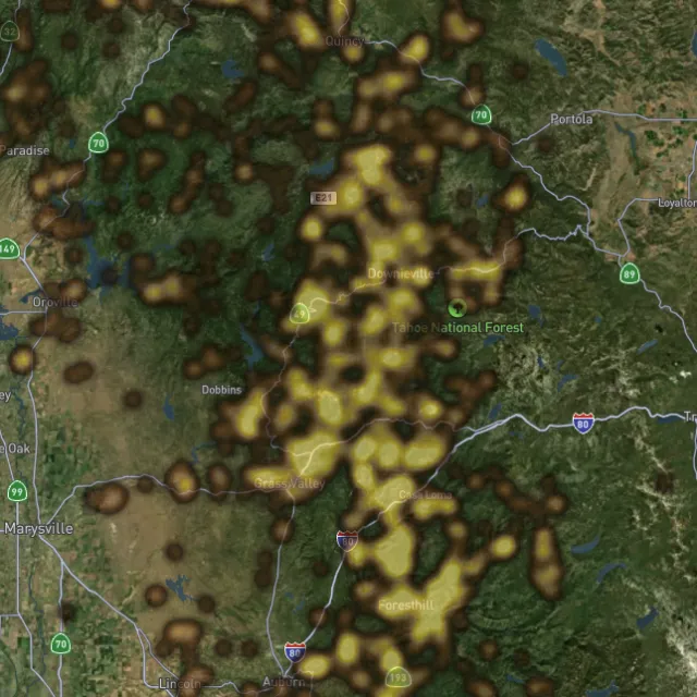
Placer and lode heatmaps built from decades of occurrences, geochemistry and geology — read the hottest ground first, then ground-truth it.
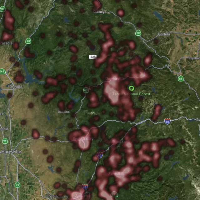
Lode heatmap

Reef prospectivity.
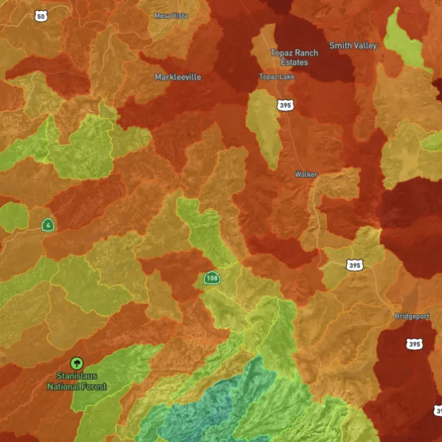
Prospectivity index

Catchments ranked.
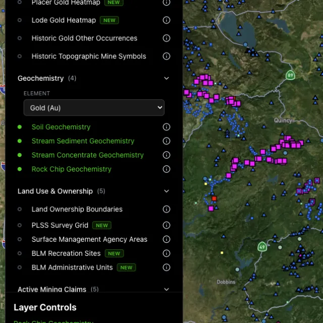
Surface geochem

Soil, stream, pathfinders.
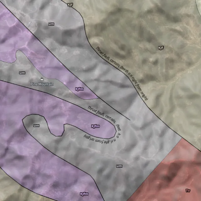
Bedrock geology

Read the host rocks.

03The edge

See the ground the brush hides.

1-metre bare-earth LiDAR

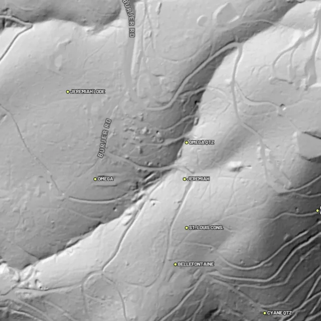
Strip away the canopy and old workings, benches and water-races jump out — rendered from any light angle, tinted by slope or elevation.
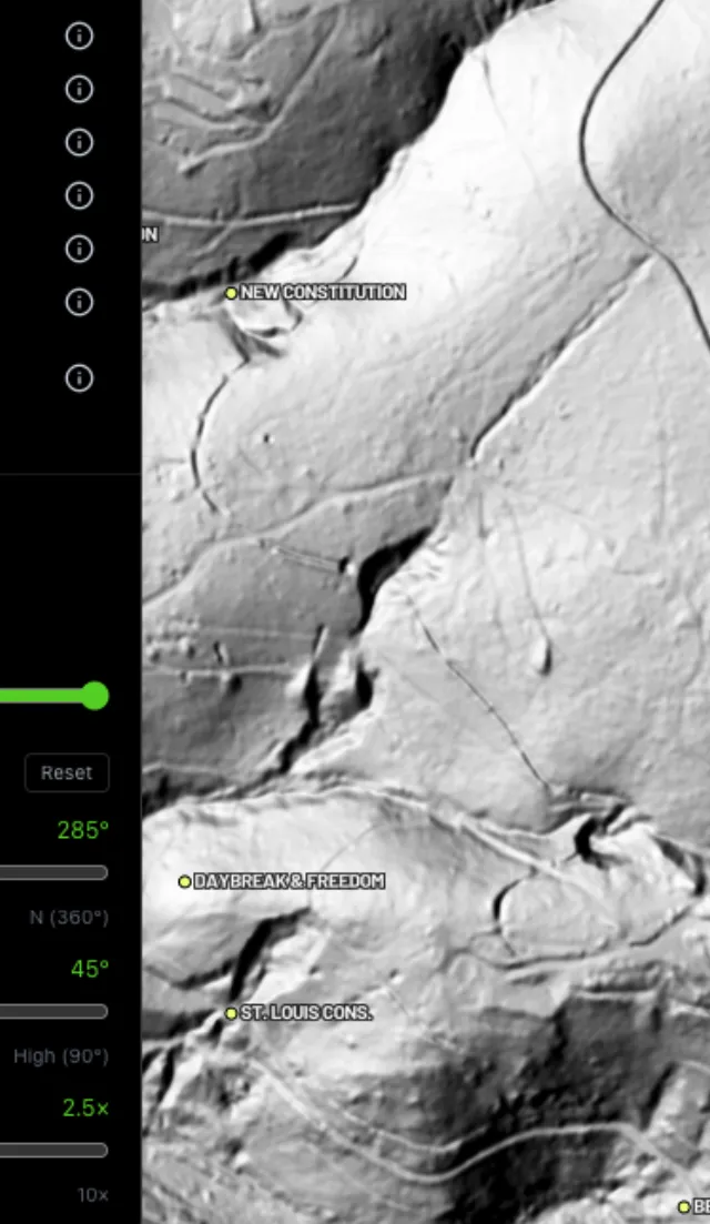
Hillshade renders

Light it any way.
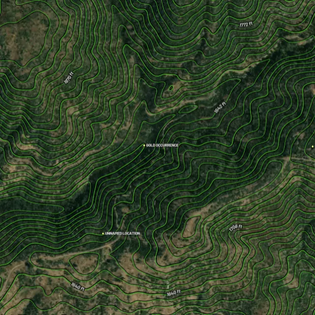
Contours

Read the gradient.
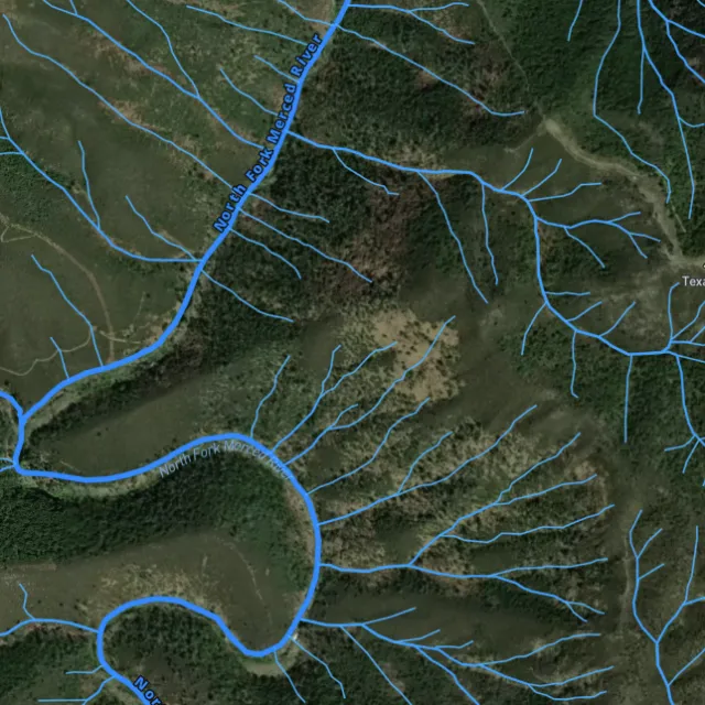
Watercourses

Where placer runs.
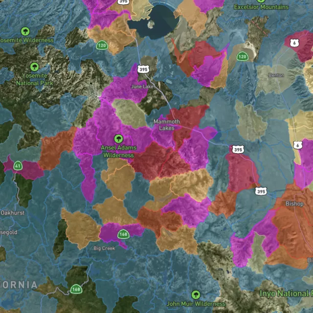
Catchment index

Whole gullies scored.

04Stay legal

Know it's open before you swing.

Public, private, or off-limits

Surface-management agencies, land ownership, the PLSS grid and the roads to reach them — prospect legal, accessible public ground. A guide, not legal advice.
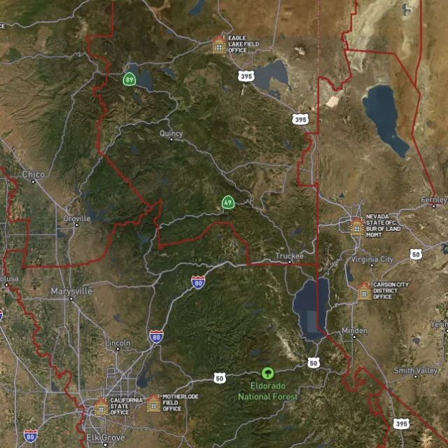
BLM land

Managed public ground.
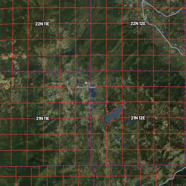
PLSS sections

Township / range / section.
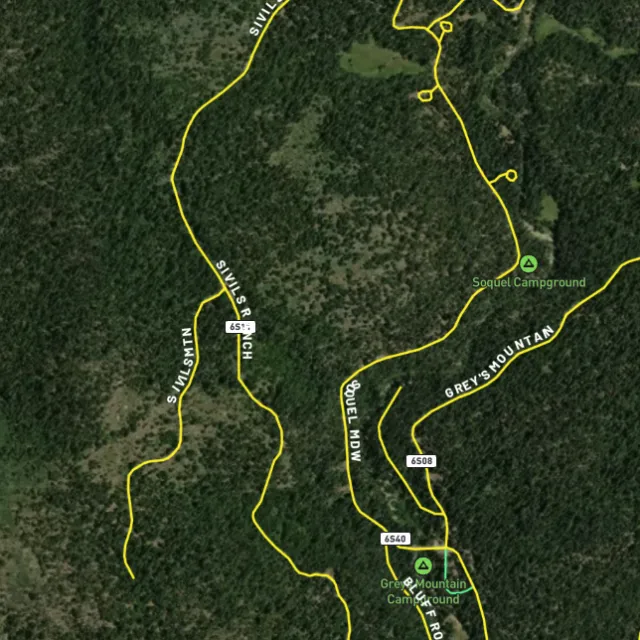
MVUM roads

What you can drive.

Protected areas

Avoid these.

Stop guessing. Start finding.

Every claim, every layer, every gold-bearing state — on one map you can take off-grid.

Start free trial

3-day free trial · Nothing charged until it ends · Cancel anytime

North Carolina FAQ

Your North Carolina gold questions, answered.

If yours isn’t here, email [email protected] — we read every one.

Start free for 3 days on any yearly plan — nothing charged until the trial ends.

Yes. North Carolina is where the first documented gold in the United States was found, at the Reed Gold Mine in Cabarrus County in 1799, sparking the country’s first gold rush. Gold has historically been produced across the central Piedmont, especially the Carolina slate belt, including the Gold Hill district in Rowan and Cabarrus counties, the Cid and Silver Hill areas in Davidson County, and across Stanly, Montgomery, Union, and Mecklenburg counties. It remains proven ground that prospectors still work today.

The historic goldfields run through the central Piedmont and Carolina slate belt, with the Uwharrie National Forest in the Montgomery County area being a well-known spot for public-land panning. Much of North Carolina’s gold ground is privately owned, so a lot of prospecting happens at pay-to-dig sites and with landowner permission rather than on open public land. Before working any creek or claim area, confirm the land status and check for active mining claims so you’re prospecting legally.

On private land you don’t file a federal claim, but you do need the landowner’s permission first — this is the big one in North Carolina, where most gold ground is private. On National Forest land such as the Uwharrie, recreational pan-and-sluice prospecting is generally allowed without a permit for personal, non-commercial use, though mineral rights can be privately held even within forest boundaries. Federal mining claims are filed through the BLM where open public land with available mineral entry exists, so check current claim status via MLRS/LR2000, and confirm state-specific rules and any required approvals with the relevant North Carolina agency (such as the Department of Environmental Quality). [VERIFY] Confirm current Uwharrie National Forest panning policy and any USFS permit requirements before publishing.

Recreational gold panning and metal detecting are generally allowed on open public land where no valid mining claim exists and the rules are followed. In the Uwharrie National Forest, panning with a pan and sluice/shaker box for personal use is generally permitted without a fee, while motorized equipment and suction dredges are generally not allowed, and wilderness areas and designated wild and scenic river corridors are typically off-limits. On private land you need the owner’s permission, so always verify land status and confirm current regulations with the USFS (Uwharrie Ranger District) and the relevant North Carolina agency before you dig. [VERIFY] Confirm the no-dredge/no-motorized-equipment rule and wilderness/wild-and-scenic exclusions for the Uwharrie before publishing.

Detector Maps overlays the data that helps you read North Carolina’s goldfields: active BLM mining claims, BLM and USFS public-land boundaries (so you can see where the Uwharrie and other public ground sits), and MRDS gold and mineral occurrences from the USGS pinpointing recorded workings across the slate belt. You also get USGS bedrock geology and surface geochemistry to follow the gold-bearing belts, plus roads and access, watercourses, and contours for planning a route. You can georeference your own maps, download areas for fully offline use in the field, browse community maps, and Pro users get daily claim-drop alerts.