Start free trial

Start free for 7 days on a yearly plan — nothing charged until the trial ends.

Open the map

Utah · Gold Maps

The Utah Gold Map Built for a Lode State, Not a Lucky River

Utah never had a great placer rush — its gold rode in as a byproduct of the richest lode districts in the West. That means you can't just chase a famous river here. You have to read the rock. Overlay Tintic and Bingham geology, USGS geochemistry, live BLM claims, and 8-style LiDAR hillshade on one map, and find the ground the panners overlooked. Prospect smarter, not harder.

Start Free Trial

Gold in Utah

Utah is a lode and byproduct gold state, not a placer state. Unlike California or Idaho, free gold in rich placers was the exception here, not the rule: most Utah gold came up alongside copper, silver, lead and zinc in deep lode mines. That single fact changes how you hunt. In Utah, the geochemistry and geology layers matter more than "what river do I pan."

Signature districts and regions:

  • Bingham Canyon (Oquirrh Mountains, Salt Lake County), the giant. World-famous as the largest open-pit copper mine on earth, it is also one of the top lifetime gold producers in the nation (copper-gold porphyry). Early placer gold was discovered in Bingham Canyon in 1864 and mined out within years. It shows the Utah rule: gold travels with copper.
  • Tintic Mining District (Juab and Utah counties, East Tintic Mountains), one of Utah's legendary hard-rock camps: major silver, lead and copper with substantial gold. This is classic lode geology, where the State Geology, Historic Gold and topo mine-symbol layers do the work.
  • Henry Mountains (Garfield County, south-central desert), Utah's most notable true placer ground. Gold sits on the east flanks of Mt. Ellen (Crescent Creek) and Mt. Pennell (Straight Creek), and the Crescent Creek placers were the district's most important. The source is bench and mesa gravels eroding off the laccolithic intrusions. One honest caveat: many of the better lower deposits were drowned by Lake Powell after Glen Canyon Dam, a real reason to work from current data, not 1900s lore.
  • Park City district, another historic silver-lead camp with gold credit.
  • Scattered placers in the south and southeast, on BLM land north of Blanding, with some gold extending into the Manti-La Sal National Forest.

Public land, a Western strength. Roughly 68% of Utah is federal land: desert basin-and-range in the west, high plateaus and laccolithic mountains in the south. That is the opposite of the eastern private-land states. Huge swaths are open to mineral entry, so the Active Mining Claims and Land & Ownership / surface management layers are the difference between legal ground and a trespass or a claim-jump. In desert and mountain terrain with sparse cover, LiDAR hillshade (with Pro) is genuinely useful for reading old workings, benches and drainages.

DailyBLM mining claims refreshed from the federal record
USGSGold occurrences, mines & prospects mapped
1-metreBare-earth LiDAR hillshade with Pro, where coverage exists
41 layersClaims, geochem, geology & access — one subscription
01Can I dig here?

First, find open ground.

Every claim, colour-coded

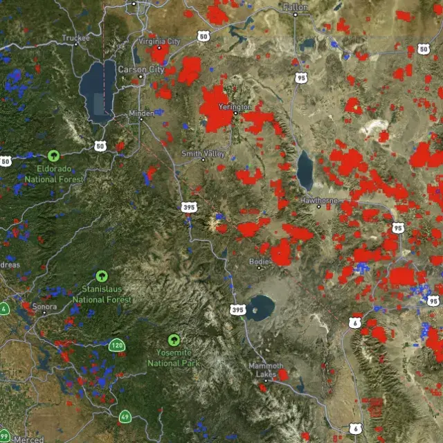
Active placer and lode claims on federal land, styled apart and linked to the official BLM record — so you know what's open before you drive.
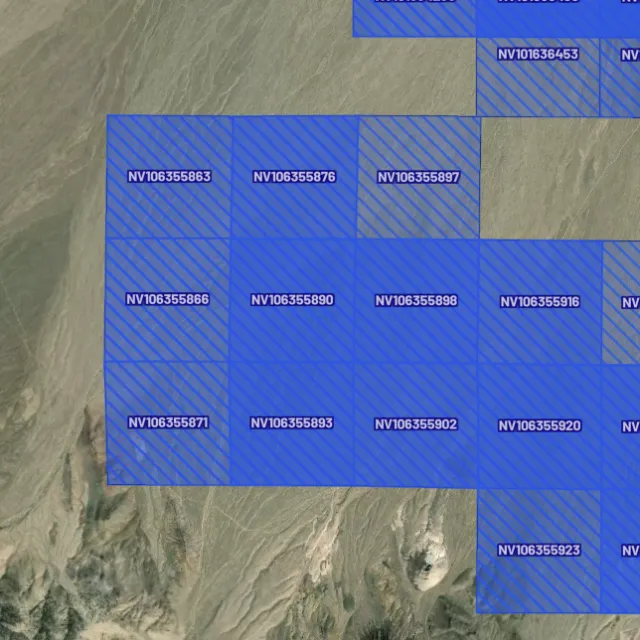
Placer claims

Alluvial-gold claims.
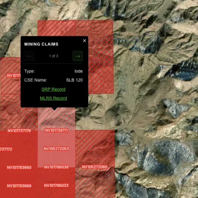
Lode claims

Hard-rock claims.
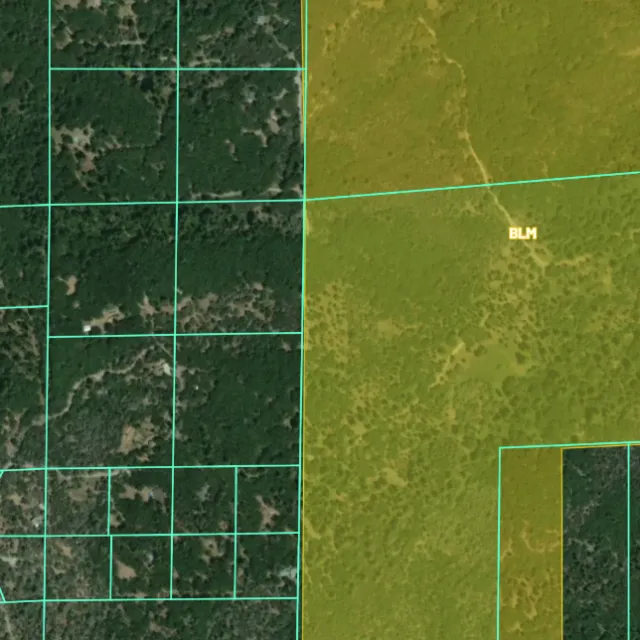
Land ownership

Public vs private.
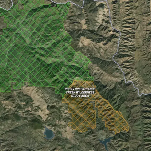
Protected areas

Off-limits ground.

02Where's the gold?

Go where the data points.

Prospectivity, scored

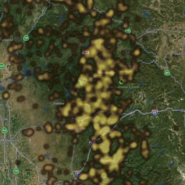
Placer and lode heatmaps built from decades of occurrences, geochemistry and geology — read the hottest ground first, then ground-truth it.
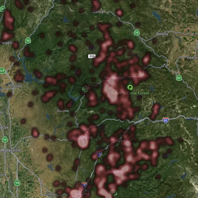
Lode heatmap

Reef prospectivity.
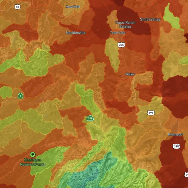
Prospectivity index

Catchments ranked.
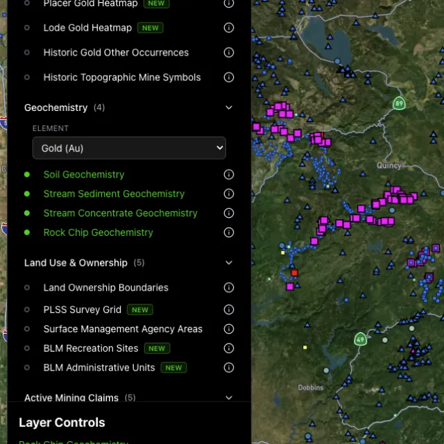
Surface geochem

Soil, stream, pathfinders.
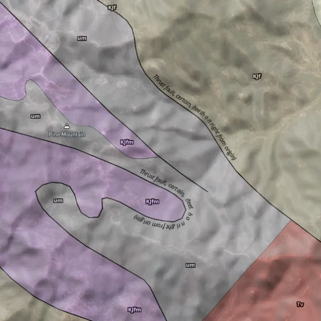
Bedrock geology

Read the host rocks.

03The edge

See the ground the brush hides.

1-metre bare-earth LiDAR with Pro

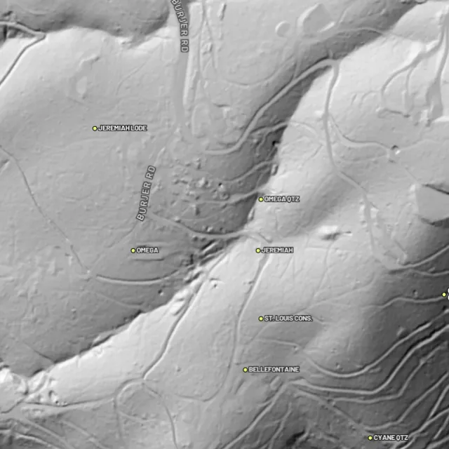
Strip away the canopy and old workings, benches and water-races jump out — rendered from any light angle, tinted by slope or elevation.
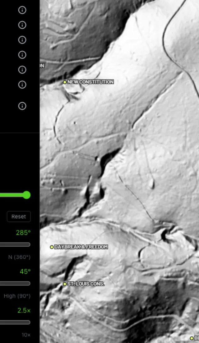
Hillshade renders

Light it any way.
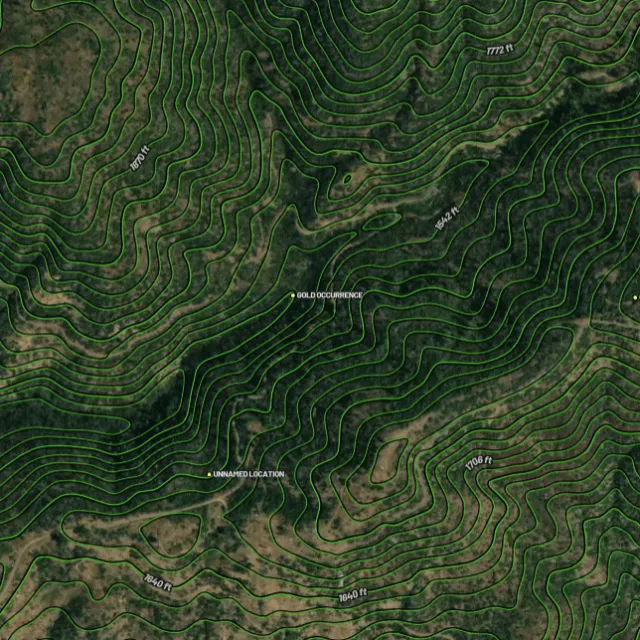
Contours

Read the gradient.
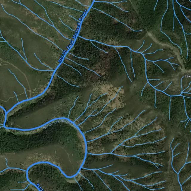
Watercourses

Where placer runs.
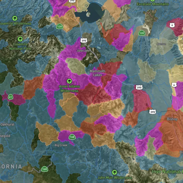
Catchment index

Whole gullies scored.

04Stay legal

Know it's open before you swing.

Public, private, or off-limits

Surface-management agencies, land ownership, the PLSS grid and the roads to reach them — prospect legal, accessible public ground. A guide, not legal advice.
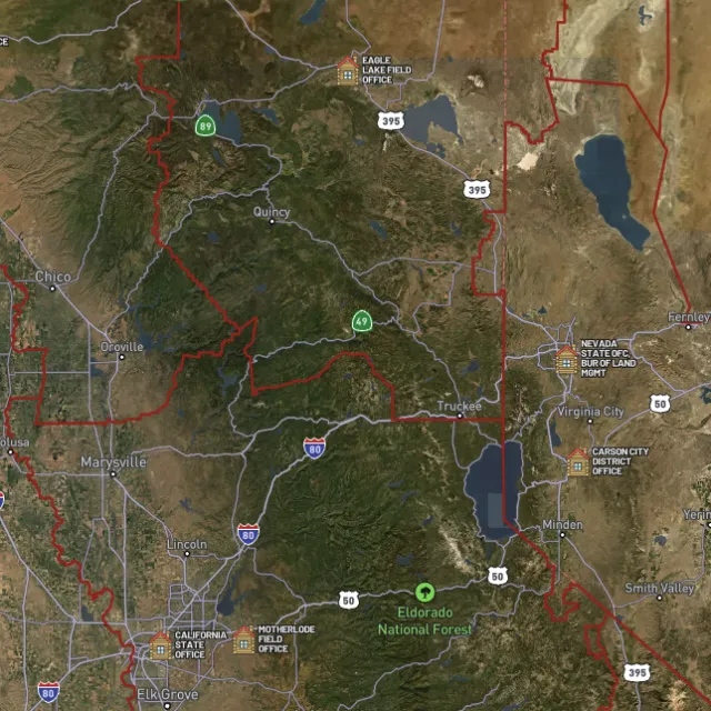
BLM land

Managed public ground.
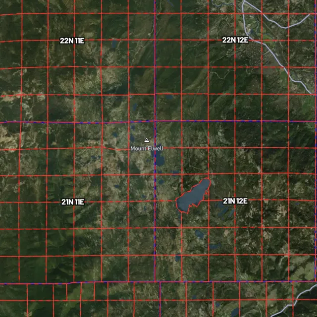
PLSS sections

Township / range / section.
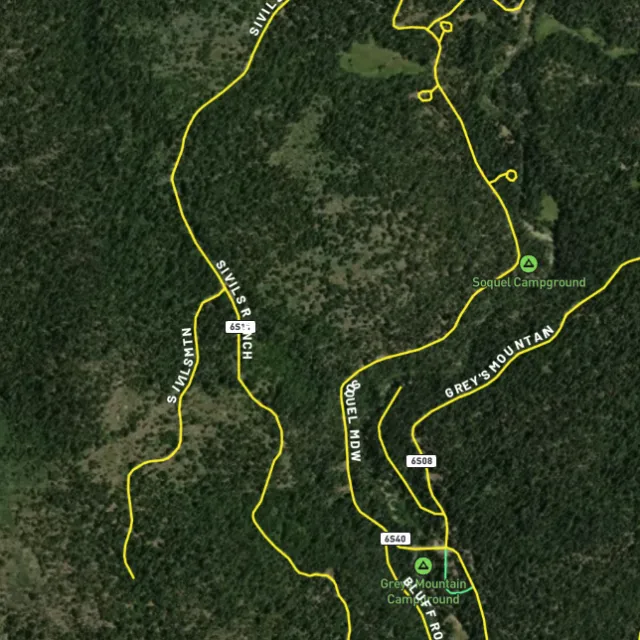
MVUM roads

What you can drive.

Protected areas

Avoid these.

Stop guessing. Start finding.

Every claim, every layer, every gold-bearing state — on one map you can take off-grid.

Start free trial

7-day free trial · Nothing charged until it ends · Cancel anytime

Utah FAQ

Your Utah gold questions, answered.

If yours isn’t here, email [email protected] — we read every one.

Start free for 7 days on a yearly plan — nothing charged until the trial ends.

Yes. Utah has a strong mining history, though it’s largely lode (hard-rock) gold rather than rich placers. Gold has been found across districts like Bingham Canyon near Salt Lake City (a world-class copper-gold porphyry), the Tintic district on the Juab/Utah County line, the Mercur district in Tooele County, and Park City. Placer gold has been worked in the Henry Mountains and along stretches of the Colorado and San Juan Rivers, though placer ground in Utah is more limited than in California or the West Coast.

The most realistic recreational opportunities are on open BLM and U.S. Forest Service public land in and around the historic districts — areas like the Tintic and East Tintic district, the Henry Mountains, the Marysvale/Tushar area, and washes draining old goldfields. Much of Utah is a checkerboard of public, private, tribal, and state trust land, and many of the famous lode districts (like Bingham Canyon) are private and active, so location matters. Before you dig anywhere, confirm the parcel is open public land and not covered by a valid mining claim.

For casual recreational panning and detecting on open public land, you generally don’t need to stake a claim — but a claim is what gives you exclusive rights to work a specific spot, and you can’t prospect on someone else’s active claim or on private/tribal land without permission. Any mechanized or larger-scale work typically requires authorization from the managing agency. Check current claim status through the BLM (LR2000/MLRS) before you start, and confirm the rules with the local BLM field office, the U.S. Forest Service, or the Utah Division of Oil, Gas and Mining for state-managed ground.

Recreational gold panning and metal detecting are generally allowed on open public land managed by the BLM or U.S. Forest Service, where no valid mining claim exists and you follow the agency’s rules. Restrictions apply in places like designated wilderness, developed recreation sites, and especially archaeological or historic sites — disturbing artifacts or cultural sites is prohibited under federal law. State parks, private land, and tribal land each have their own rules, so always verify the land status and current regulations with the managing agency before you detect or dig.

Detector Maps overlays the data that matters for Utah ground in one place: active BLM mining claims so you can see what’s already pegged, BLM and Forest Service public-land boundaries to find open ground, and USGS MRDS gold and mineral occurrences pinpointing recorded workings across districts like Tintic, Mercur, and the Henry Mountains. You also get USGS bedrock geology and surface geochemistry to read the host rocks and pathfinder signals, plus roads and access, contours, and watercourses for planning a trip. You can georeference your own maps, download areas for fully-offline use in the backcountry, and Pro members get daily claim-drop alerts when ground opens up.