Start free trial

Start free for 3 days on any yearly plan — nothing charged until the trial ends.

Open the map

Nevada · Gold Maps

Nevada Gold Prospecting Map — Find the Trends, Skip the Claimed Ground

The Carlin Trend, Round Mountain, Battle Mountain-Eureka — Nevada is the gold capital of America, and roughly 80% of it sits on federal BLM land you can legally prospect. Stop guessing on a Silver State map app built from USGS, BLM, and MLRS data. Find the trends, the geochemistry, and the open ground the majors haven't locked up. Prospect smarter, not harder.

Start Free Trial

Gold in Nevada

Nevada is the most important gold state in the United States — and it prospects unlike anywhere else. Most Nevada gold is Carlin-type: microscopic, "invisible," disseminated gold locked in sediment, not the chunky placer nuggets you pan in California creeks. That single fact reshapes how you hunt here — geochemistry and prospectivity trends matter more than visible color in a pan.

The world-class lode trends (anchor districts): - Carlin Trend (Eureka/Elko counties) — a ~5-mile-wide, ~40-mile-long belt that's one of the richest gold districts in world history (88M+ oz produced). The textbook Carlin-type corridor. - Battle Mountain–Eureka Trend (Lander/Eureka) — a parallel mineral belt with deep claim density and long production history. - Getchell / Potosi Trend (Humboldt) — northern Carlin-style mineralization. - Round Mountain (Nye, Toiyabe Range) — major low-sulfidation epithermal lode/disseminated producer. - Goldfield & Tonopah (Esmeralda/Nye) — legendary early-1900s bonanza epithermal districts; Goldfield alone shows 10,000+ active claims. - Comstock Lode (Storey/Lyon, Virginia City) — the silver-and-gold strike that built the state.

Placer reality: Nevada placers are desert placers — dry washes, alluvial fans, and arid gulches, worked by drywashing, not sluicing. Signature placer ground includes the Rye Patch / Humboldt drainages, the El Dorado Canyon area (Clark), Round Mountain placers, Manhattan Gulch, and Osceola. There are far fewer flowing rivers than the West Coast — water is the scarce input, so drainage and seasonal-wash layers are gold.

DailyBLM mining claims refreshed from the federal record
USGSGold occurrences, mines & prospects mapped
1-metreBare-earth LiDAR hillshade where coverage exists
41 layersClaims, geochem, geology & access — one subscription
01Can I dig here?

First, find open ground.

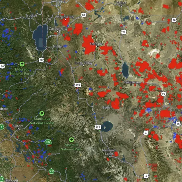
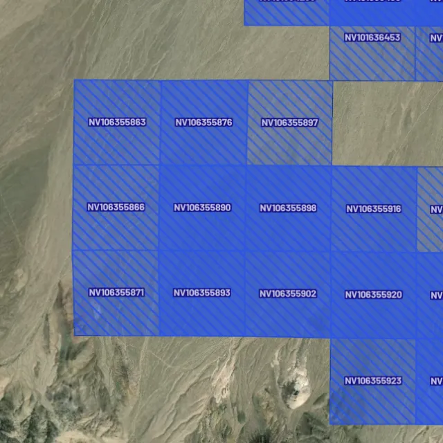
Every claim, colour-coded

Active placer and lode claims on federal land, styled apart and linked to the official BLM record — so you know what's open before you drive.
Placer claims

Alluvial-gold claims.
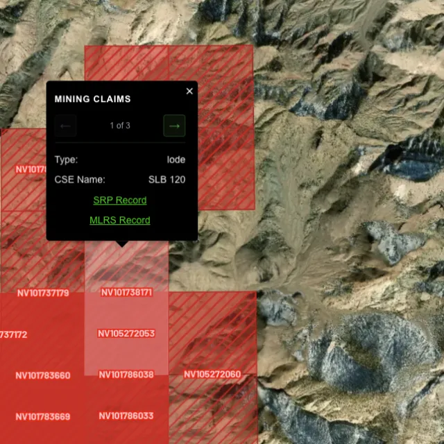
Lode claims

Hard-rock claims.
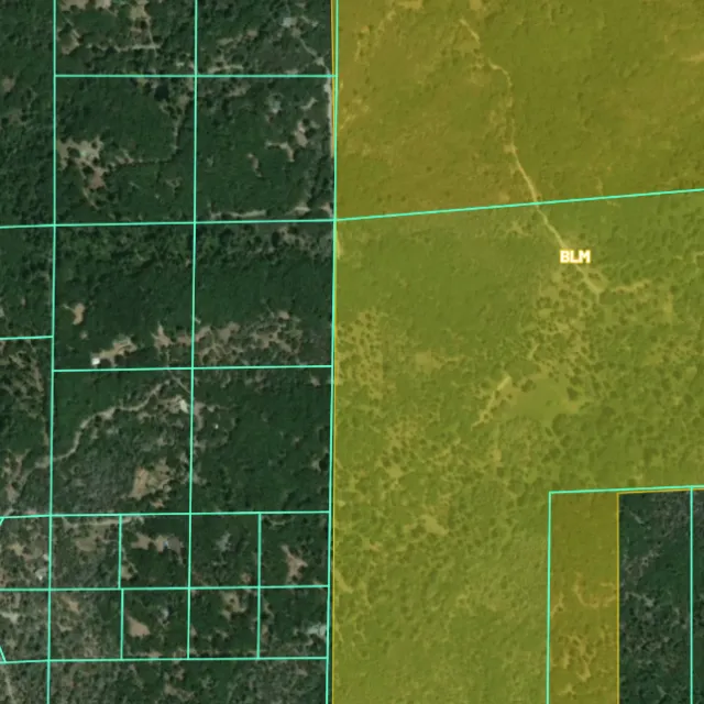
Land ownership

Public vs private.
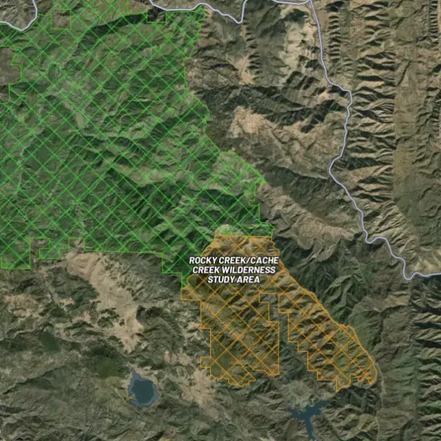
Protected areas

Off-limits ground.

02Where's the gold?

Go where the data points.

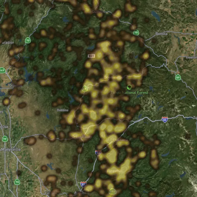
Prospectivity, scored

Placer and lode heatmaps built from decades of occurrences, geochemistry and geology — read the hottest ground first, then ground-truth it.
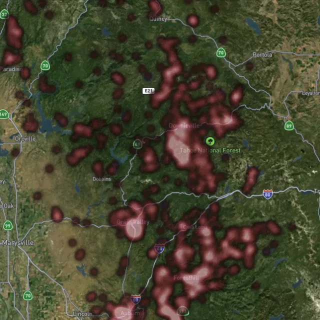
Lode heatmap

Reef prospectivity.
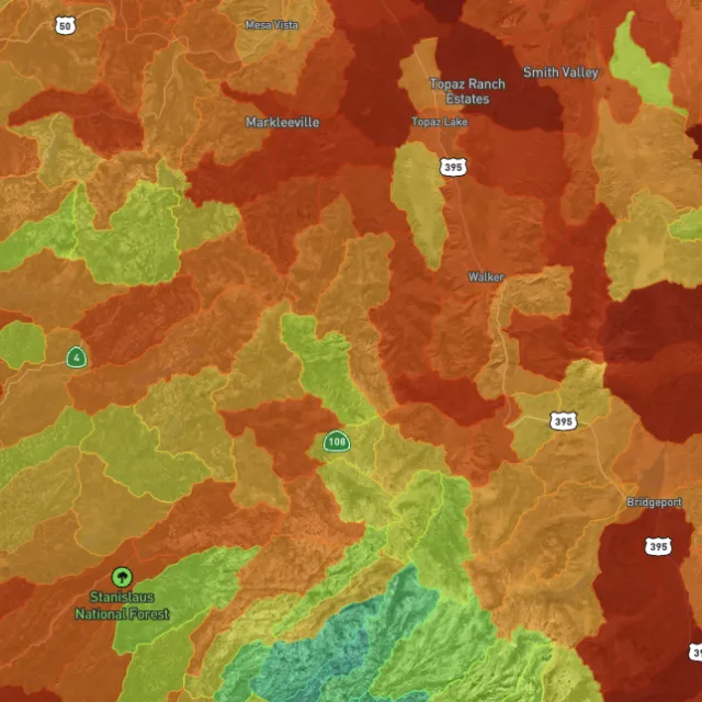
Prospectivity index

Catchments ranked.
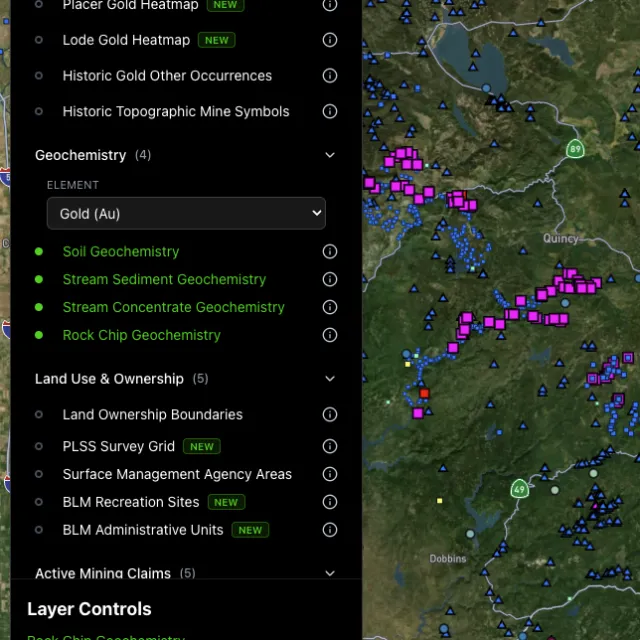
Surface geochem

Soil, stream, pathfinders.
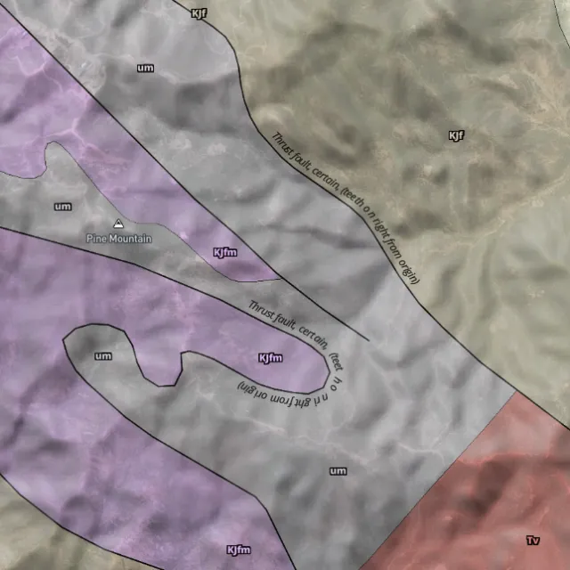
Bedrock geology

Read the host rocks.

03The edge

See the ground the brush hides.

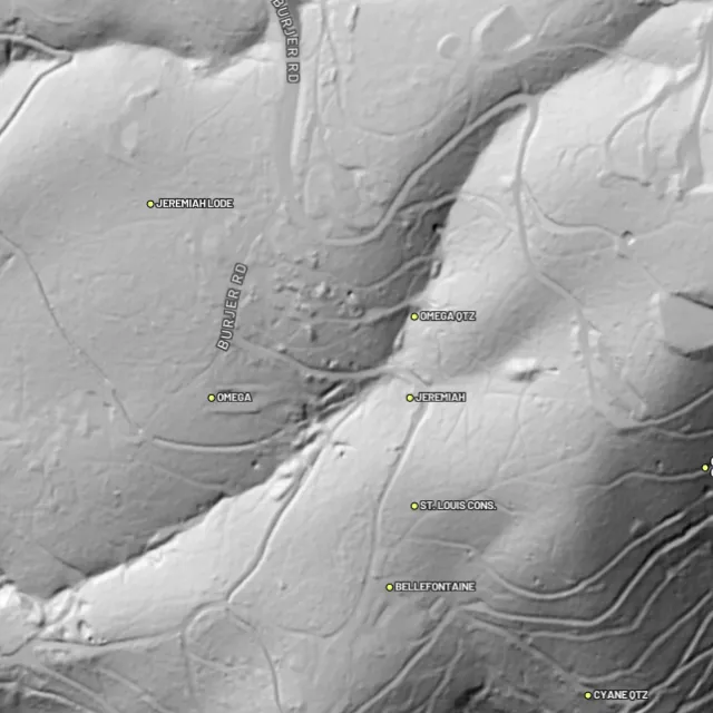
1-metre bare-earth LiDAR

Strip away the canopy and old workings, benches and water-races jump out — rendered from any light angle, tinted by slope or elevation.
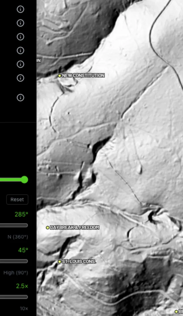
Hillshade renders

Light it any way.
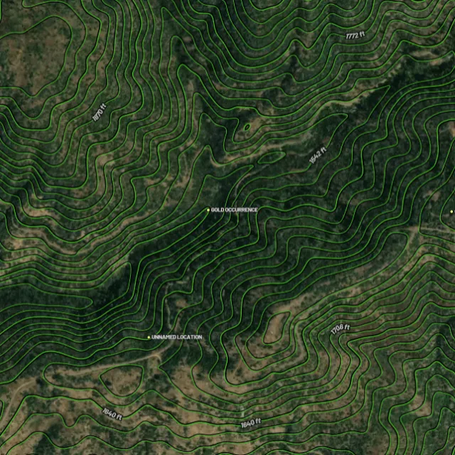
Contours

Read the gradient.
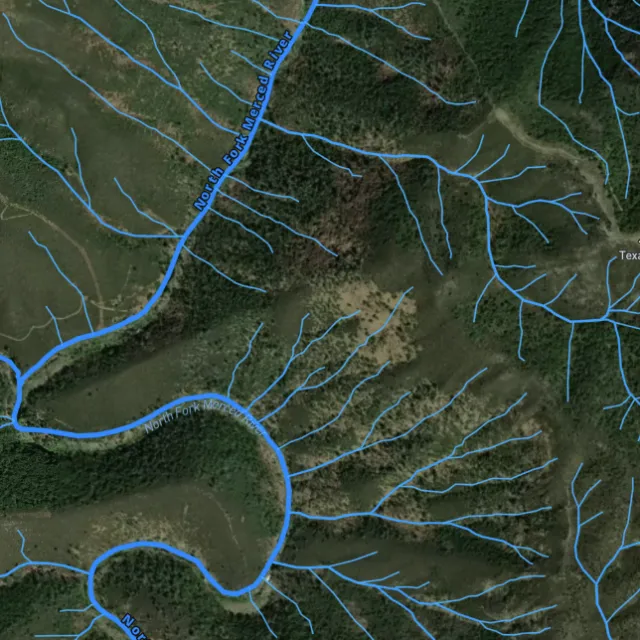
Watercourses

Where placer runs.
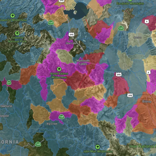
Catchment index

Whole gullies scored.

04Stay legal

Know it's open before you swing.

Public, private, or off-limits

Surface-management agencies, land ownership, the PLSS grid and the roads to reach them — prospect legal, accessible public ground. A guide, not legal advice.
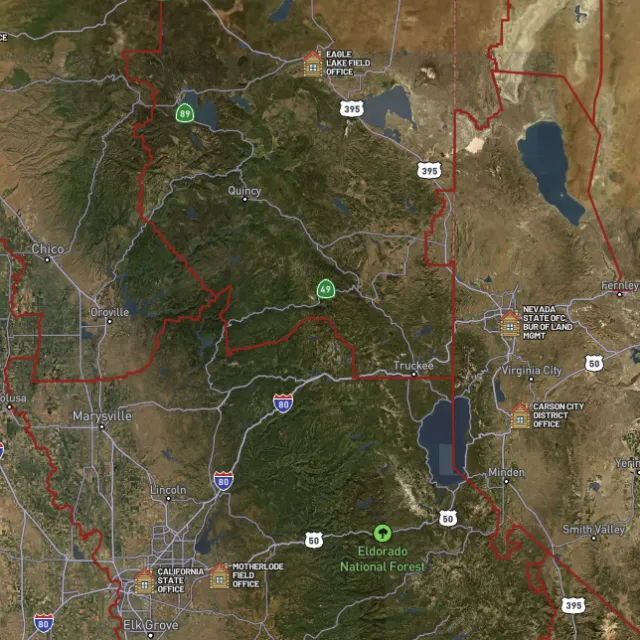
BLM land

Managed public ground.
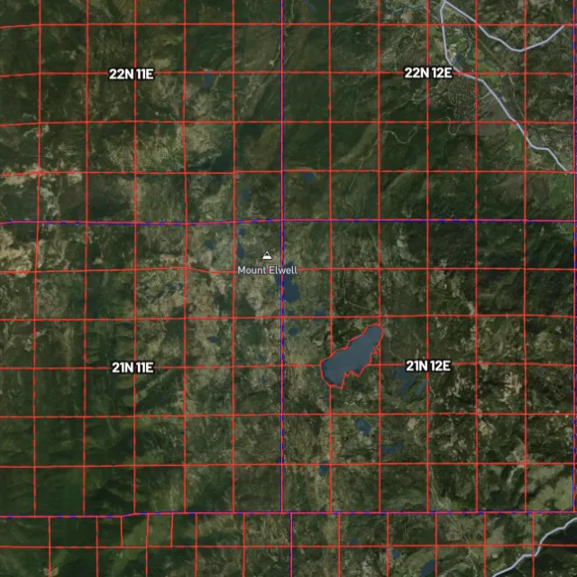
PLSS sections

Township / range / section.
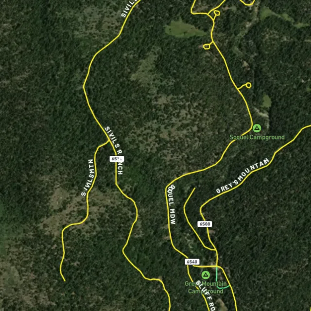
MVUM roads

What you can drive.

Protected areas

Avoid these.

Stop guessing. Start finding.

Every claim, every layer, every gold-bearing state — on one map you can take off-grid.

Start free trial

3-day free trial · Nothing charged until it ends · Cancel anytime

Nevada FAQ

Your Nevada gold questions, answered.

If yours isn’t here, email [email protected] — we read every one.

Start free for 3 days on any yearly plan — nothing charged until the trial ends.

Yes. Nevada is the most productive gold state in the U.S. and hosts some of the world’s richest deposits. Gold has been found across the state, most famously along the Carlin Trend and the Battle Mountain-Eureka (Cortez) Trend in the north-central region, which host major modern lode mines. Historic and active placer gold also occurs around Round Mountain, Manhattan, Rye Patch (Humboldt River), and the Osceola district, making Nevada well-proven ground for prospectors.

A large majority of Nevada is public land managed by the BLM, so there is a great deal of open ground to explore once you confirm it isn’t covered by a valid claim. Prospectors commonly focus on historic placer areas such as Round Mountain, Manhattan, the Rye Patch/Humboldt River stretch, Spring Valley, and the Osceola district in central and northern Nevada. Before working any spot, check the current BLM mining-claim status (MLRS), because much of Nevada’s best ground is actively claimed by individuals and companies.

For casual recreational prospecting on open public land where no valid claim exists, you generally do not need to stake a claim, but you must not work or trespass on someone else’s active claim. To gain exclusive rights to a location or to remove significant material, you would file a mining claim through the BLM and meet county recording requirements. Any mechanized or larger-scale work can trigger additional authorization, so confirm current rules with the BLM Nevada State Office and the Nevada Division of Minerals before you dig. [VERIFY] Exact thresholds for when casual use becomes a notice or plan-of-operations requirement on Nevada BLM land.

Recreational gold panning and metal detecting are generally allowed on open public land (BLM and USFS) in Nevada where no valid mining claim exists and you follow the applicable rules. Hand methods like panning are typically treated as casual use, while motorized equipment, dredging, or disturbing more ground may require permits or be restricted. Always avoid claimed ground, wilderness, and special-management areas, and check the current BLM claim status (MLRS) and Nevada Division of Minerals guidance before heading out. [VERIFY] Current Nevada rules on suction dredging and any state water-quality permits for in-stream work.

For Nevada, Detector Maps overlays active BLM mining claims so you can see which ground is already taken, alongside BLM and USFS public-land boundaries that show where exploring is generally open. It plots USGS MRDS gold and mineral occurrence points across districts like the Carlin Trend and Round Mountain, layered over USGS bedrock geology and surface geochemistry to help you read the ground. You also get roads and access, contours, and watercourses, plus tools to georeference your own maps, download areas for fully-offline use, and (on Pro) receive daily claim-drop alerts when claims open up.