Start free trial

Start free for 3 days on any yearly plan — nothing charged until the trial ends.

Open the map

Montana · Gold Maps

The Montana Gold Prospecting Map Built on BLM, USGS & MLRS Data

From Alder Gulch to Last Chance to the Missouri and Blackfoot placers — every Montana strike sits on a layer of LiDAR, USGS occurrences, and live BLM claims. Stop guessing which gulch is already pegged. See it before you load the truck.

Start Free Trial

Gold in Montana

Montana's gold story is a gulch story, then a vein story. The 1860s rushes that built the Territory were almost entirely placer — coarse gold concentrated in the gravels of narrow mountain gulches feeding the major drainages.

Signature placer districts (anchor these): - Alder Gulch (Virginia City/Nevada City, Madison County) — the richest placer strike in Montana history and one of the richest in the West; the gulch that funded Virginia City and effectively the Montana Territory. - Last Chance Gulch (Helena, Lewis & Clark County) — the placer strike that became the state capital; the main street of Helena literally follows the gulch. - Confederate Gulch (Broadwater County, Big Belt Mts) — Montana Bar reputed as some of the richest ground per square foot ever worked. - Missouri River placers — bar and bench gravels along the upper Missouri and its tributaries. - Blackfoot River placers — placer ground in the Blackfoot drainage and tributary gulches.

Lode/hard-rock context (distinct from the West-wide "public land = open" pattern): - Butte (Silver Bow County) — "the Richest Hill on Earth," primarily copper but historically a major gold/silver byproduct producer; vein systems still defining for state geology. - Marysville / Drumlummon (Lewis & Clark County) — one of Montana's great gold lodes. - The Boulder Batholith and surrounding intrusive belt host the lode systems that fed many of the placer gulches downstream — a strong story for the Prospectivity and State Geology layers.

DailyBLM mining claims refreshed from the federal record
USGSGold occurrences, mines & prospects mapped
1-metreBare-earth LiDAR hillshade where coverage exists
41 layersClaims, geochem, geology & access — one subscription
01Can I dig here?

First, find open ground.

Every claim, colour-coded

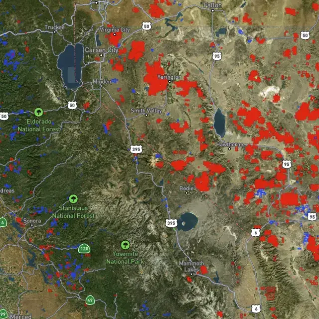
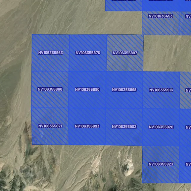
Active placer and lode claims on federal land, styled apart and linked to the official BLM record — so you know what's open before you drive.
Placer claims

Alluvial-gold claims.
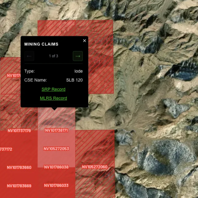
Lode claims

Hard-rock claims.
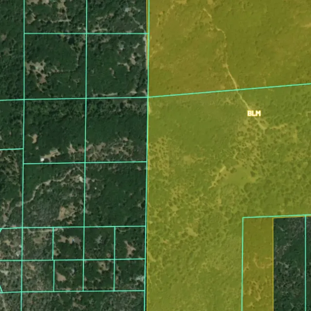
Land ownership

Public vs private.
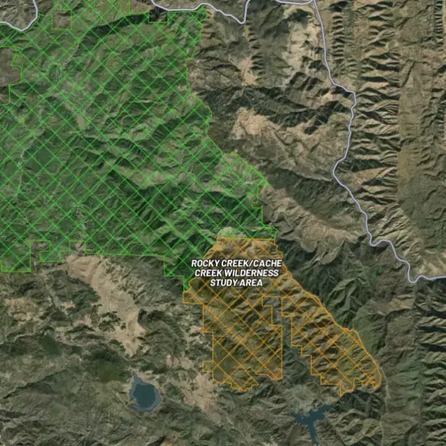
Protected areas

Off-limits ground.

02Where's the gold?

Go where the data points.

Prospectivity, scored

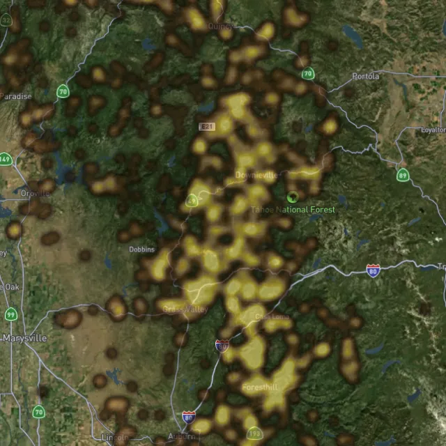
Placer and lode heatmaps built from decades of occurrences, geochemistry and geology — read the hottest ground first, then ground-truth it.
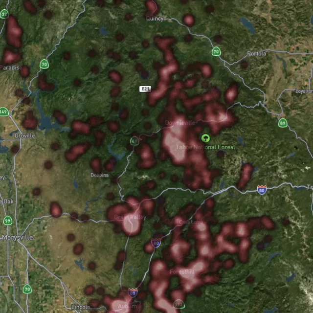
Lode heatmap

Reef prospectivity.
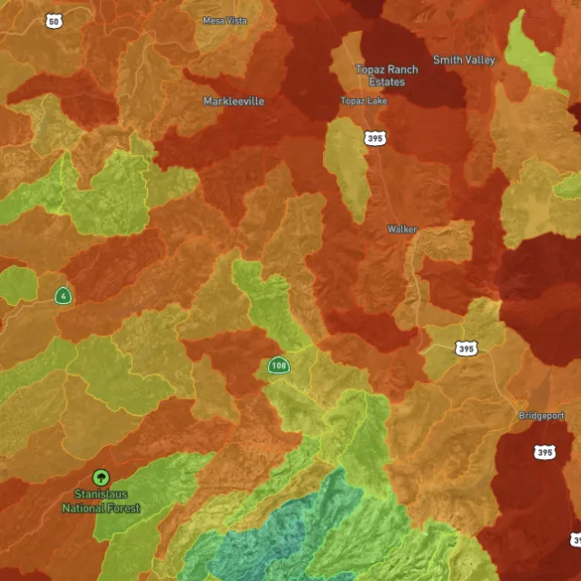
Prospectivity index

Catchments ranked.
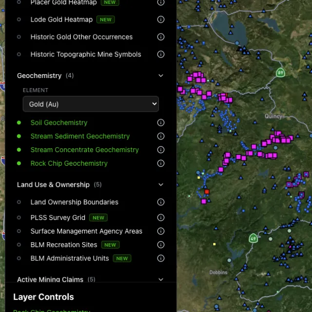
Surface geochem

Soil, stream, pathfinders.
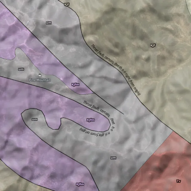
Bedrock geology

Read the host rocks.

03The edge

See the ground the brush hides.

1-metre bare-earth LiDAR

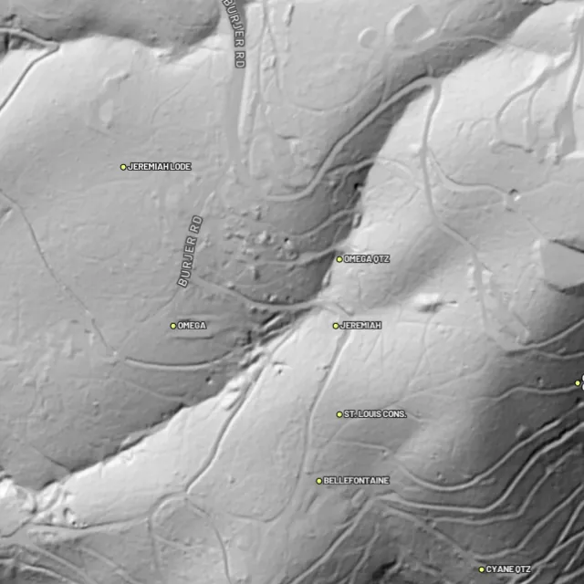
Strip away the canopy and old workings, benches and water-races jump out — rendered from any light angle, tinted by slope or elevation.
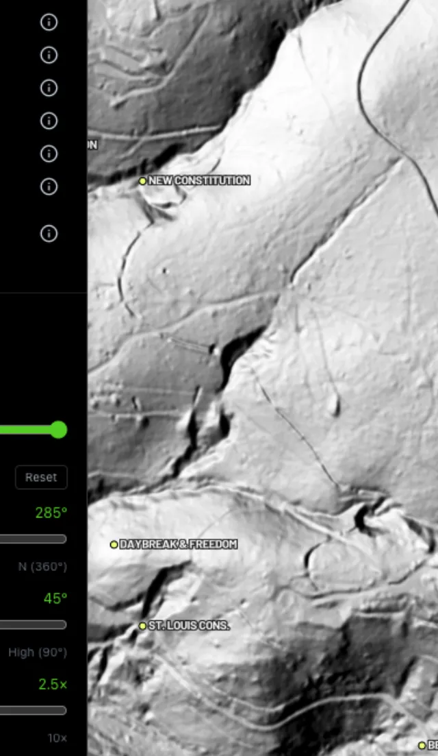
Hillshade renders

Light it any way.
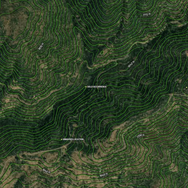
Contours

Read the gradient.
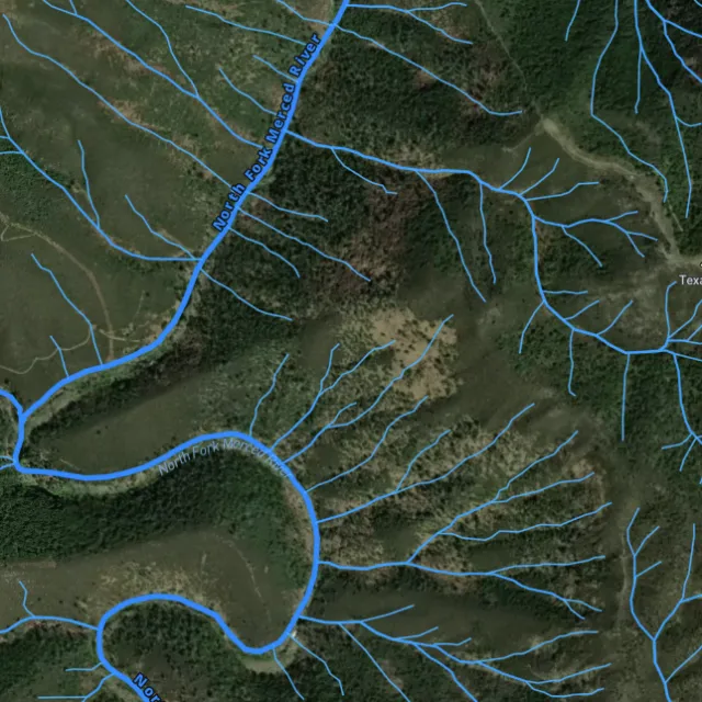
Watercourses

Where placer runs.
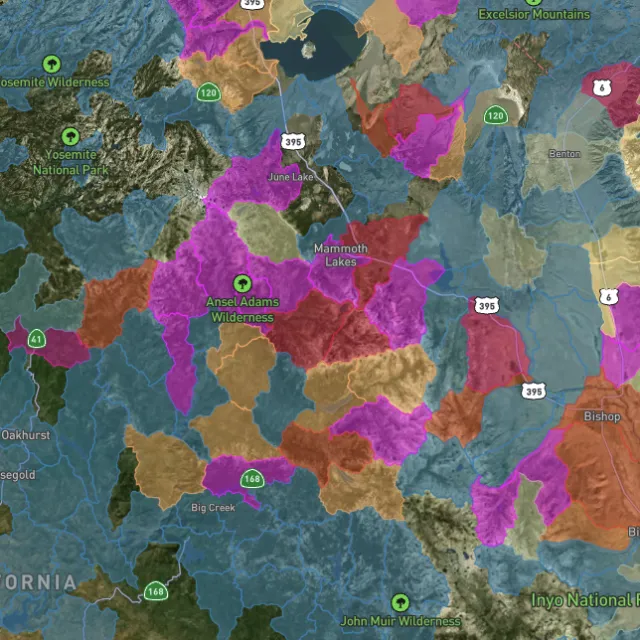
Catchment index

Whole gullies scored.

04Stay legal

Know it's open before you swing.

Public, private, or off-limits

Surface-management agencies, land ownership, the PLSS grid and the roads to reach them — prospect legal, accessible public ground. A guide, not legal advice.
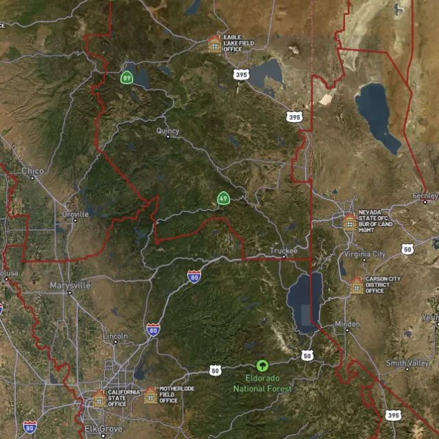
BLM land

Managed public ground.
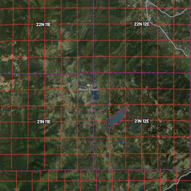
PLSS sections

Township / range / section.
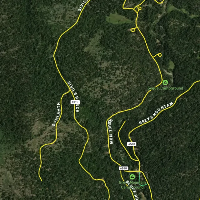
MVUM roads

What you can drive.

Protected areas

Avoid these.

Stop guessing. Start finding.

Every claim, every layer, every gold-bearing state — on one map you can take off-grid.

Start free trial

3-day free trial · Nothing charged until it ends · Cancel anytime

Montana FAQ

Your Montana gold questions, answered.

If yours isn’t here, email [email protected] — we read every one.

Start free for 3 days on any yearly plan — nothing charged until the trial ends.

Yes — Montana has a rich placer and lode gold history that helped earn it the nickname “the Treasure State.” Gold has been found in famous districts like Alder Gulch near Virginia City, Last Chance Gulch in Helena, and the early 1862 strike at Bannack, with additional historic ground in the southwest mountains and the Libby area in the northwest. These are proven goldfields, though past production is never a guarantee of what any individual will recover today.

Montana has abundant public land — large blocks of BLM and U.S. Forest Service ground, including parts of the Beaverhead-Deerlodge and other national forests — much of it within or near historic gold districts around Helena, Virginia City, Bannack, and the southwest ranges. Prospectors often focus on creeks and gravels in these proven areas, but you must first confirm the ground isn’t covered by a valid active mining claim. Use Detector Maps to overlay BLM claims, MRDS gold occurrences, and public-land boundaries so you can target open, accessible ground.

For casual recreational prospecting on open public land where no valid claim exists, you generally don’t need to stake a claim, but rules apply and methods like dredging or significant ground disturbance can trigger additional permits. If you want exclusive rights to a deposit you must locate a mining claim through the BLM. Always confirm current claim status via the BLM (MLRS/LR2000) and check requirements with the BLM field office, the managing Forest Service unit, and Montana’s Department of Environmental Quality before you dig.

Recreational gold panning and metal detecting are generally allowed on open public land (BLM and Forest Service) where no valid mining claim exists and you follow the managing agency’s rules. Activity is typically more restricted on private property, on claimed ground, and in places like state parks, and motorized methods such as suction dredging generally require separate permits. Confirm current claim status (BLM MLRS/LR2000) and check the specific land manager’s rules and Montana’s regulations before you start.

For Montana, Detector Maps overlays BLM active mining claims and BLM/USFS public-land boundaries so you can see which ground is open, plus USGS MRDS gold and mineral occurrence points across the state’s historic districts. You also get USGS bedrock geology, surface geochemistry, roads and access, contours, and watercourses to help you read the terrain around places like Alder Gulch, Helena, and Bannack. On top of that you can georeference your own maps, download areas for fully-offline use in the field, browse community maps, and (on Pro) get daily claim-drop alerts when claims are released.