Start free trial

Start free for 3 days on any yearly plan — nothing charged until the trial ends.

Open the map

Colorado · Gold Maps

The Colorado Gold Prospecting Map Built on the Mineral Belt

From the Cripple Creek caldera to the Clear Creek lodes, the Arkansas River placers and the San Juan high country — the gold tracks the Colorado Mineral Belt. See the historic occurrences, live BLM claims, USGS geochemistry and bare-earth LiDAR on one map, so you stop hiking blind and start reading the ground.

Start Free Trial

Gold in Colorado

The organizing fact: the Colorado Mineral Belt. Unlike most states where districts scatter, Colorado's gold lines up along a single northeast-to-southwest diagonal stripe of mineralization running roughly from Boulder County through the Front Range down to the San Juans.

Cripple Creek (Teller County) — the heavyweight. The Cripple Creek & Victor district is Colorado's most productive gold area by a wide margin: roughly 23+ million troy ounces recovered since Bob Womack's 1890 discovery, and still an active modern mine.

Clear Creek & Gilpin / Central City–Blackhawk–Idaho Springs. The cradle of the 1859 "Pikes Peak" rush after John Gregory's lode strike near Blackhawk. A continuous gold-bearing formation runs Idaho Springs to Central City, with Gilpin County second in state gold production (~4.25M oz through 1959). This is the accessible, near-Denver, drive-up zone — emphasize for the metro-Denver weekend prospector ("gold panning near Denver").

DailyBLM mining claims refreshed from the federal record
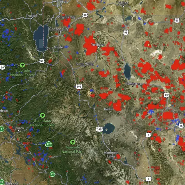
USGSGold occurrences, mines & prospects mapped
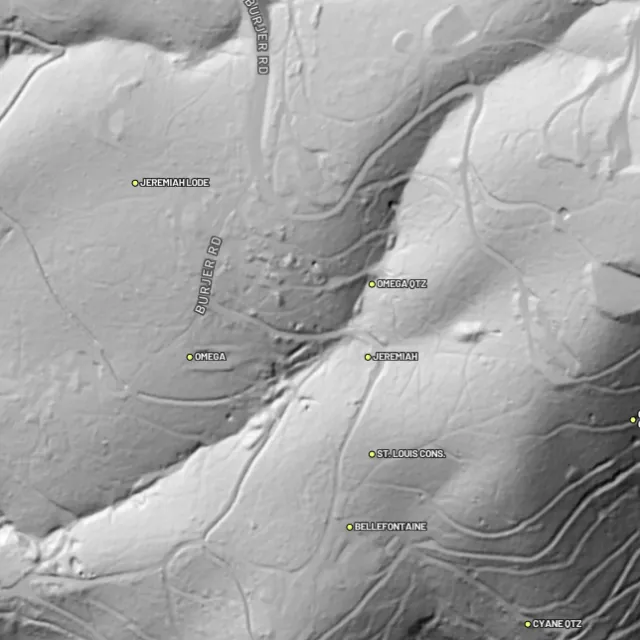
1-metreBare-earth LiDAR hillshade where coverage exists
41 layersClaims, geochem, geology & access — one subscription
01Can I dig here?

First, find open ground.

Every claim, colour-coded

Active placer and lode claims on federal land, styled apart and linked to the official BLM record — so you know what's open before you drive.
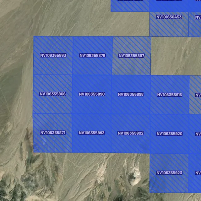
Placer claims

Alluvial-gold claims.
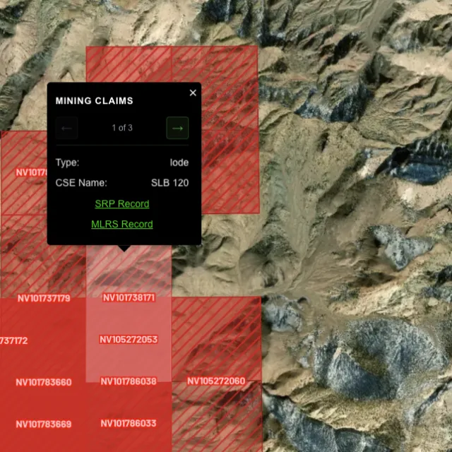
Lode claims

Hard-rock claims.
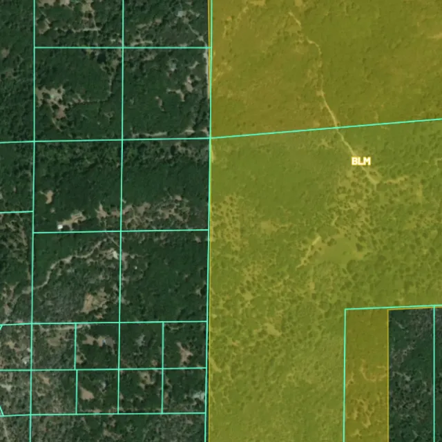
Land ownership

Public vs private.
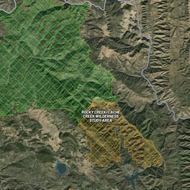
Protected areas

Off-limits ground.

02Where's the gold?

Go where the data points.

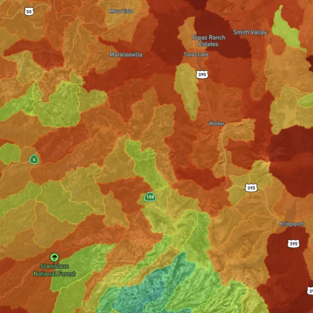
Prospectivity, scored

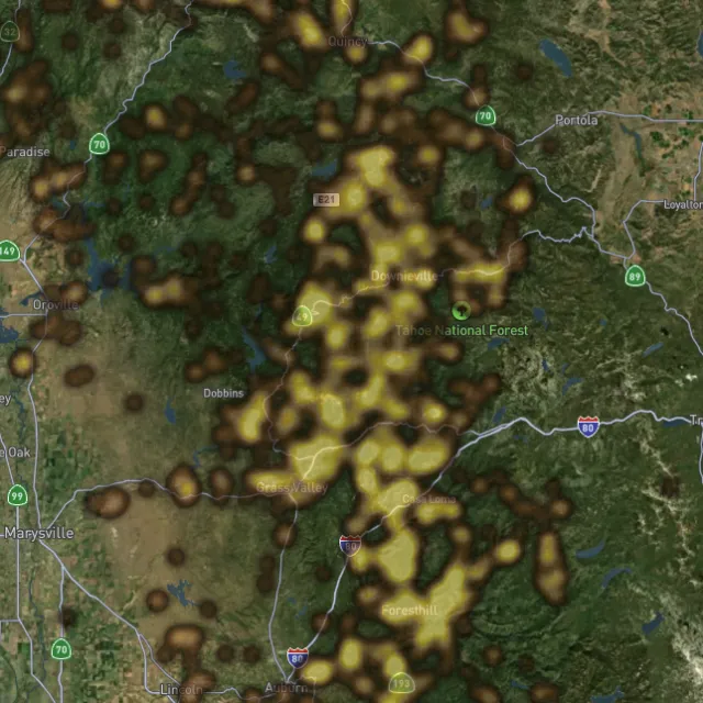
Placer and lode heatmaps built from decades of occurrences, geochemistry and geology — read the hottest ground first, then ground-truth it.
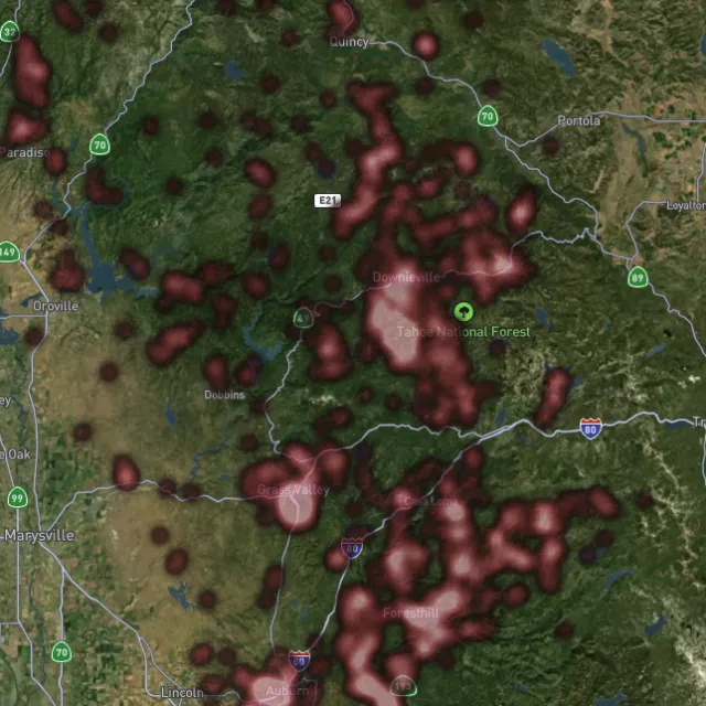
Lode heatmap

Reef prospectivity.
Prospectivity index

Catchments ranked.
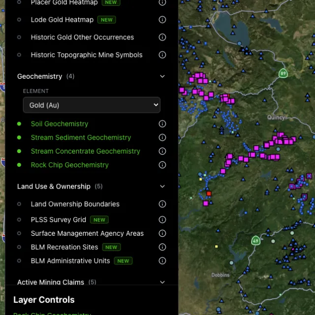
Surface geochem

Soil, stream, pathfinders.
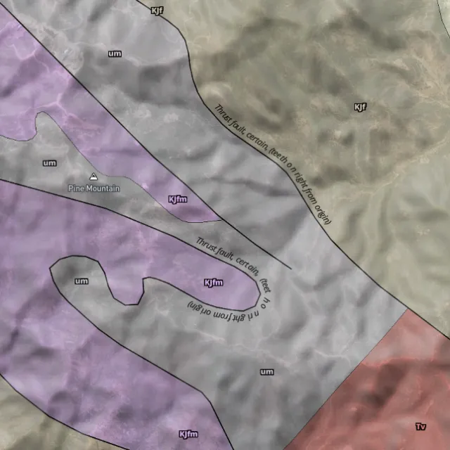
Bedrock geology

Read the host rocks.

03The edge

See the ground the brush hides.

1-metre bare-earth LiDAR

Strip away the canopy and old workings, benches and water-races jump out — rendered from any light angle, tinted by slope or elevation.
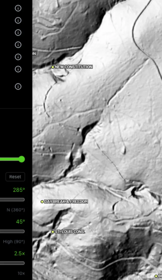
Hillshade renders

Light it any way.
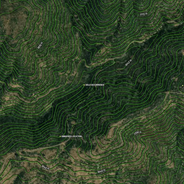
Contours

Read the gradient.
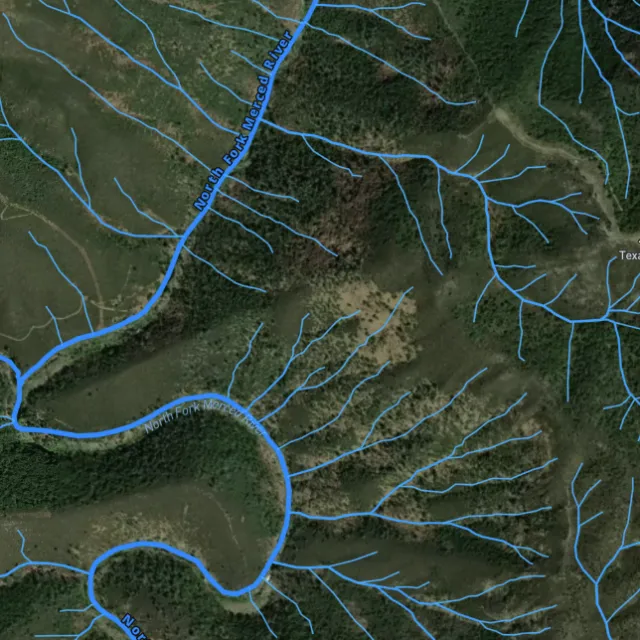
Watercourses

Where placer runs.
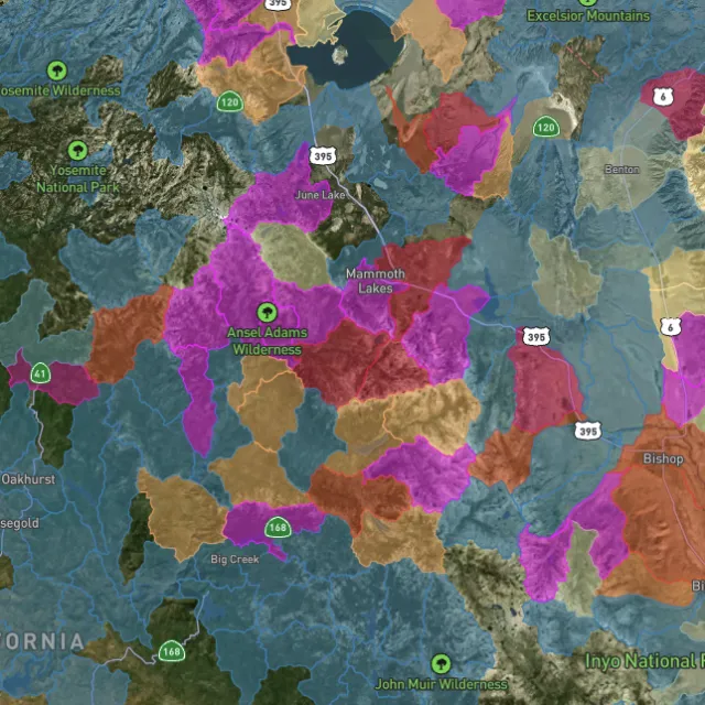
Catchment index

Whole gullies scored.

04Stay legal

Know it's open before you swing.

Public, private, or off-limits

Surface-management agencies, land ownership, the PLSS grid and the roads to reach them — prospect legal, accessible public ground. A guide, not legal advice.
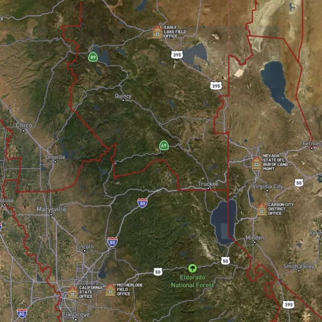
BLM land

Managed public ground.
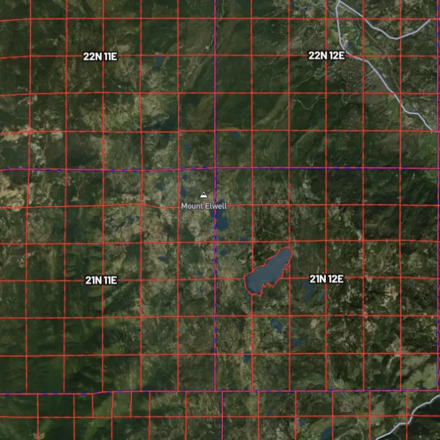
PLSS sections

Township / range / section.
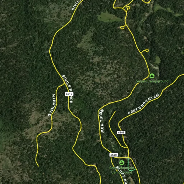
MVUM roads

What you can drive.

Protected areas

Avoid these.

Stop guessing. Start finding.

Every claim, every layer, every gold-bearing state — on one map you can take off-grid.

Start free trial

3-day free trial · Nothing charged until it ends · Cancel anytime

Colorado FAQ

Your Colorado gold questions, answered.

If yours isn’t here, email [email protected] — we read every one.

Start free for 3 days on any yearly plan — nothing charged until the trial ends.

Yes. Colorado is one of America’s great historic gold states, and gold has been found across many districts since the 1859 Pike’s Peak rush. Some of the best-known producers include Cripple Creek and Victor in Teller County, the Clear Creek and Gilpin County belt around Central City, Idaho Springs, and Georgetown, the Breckenridge and Fairplay area, and the placer ground along the upper Arkansas River valley near Leadville and Buena Vista. These are proven goldfields with long, documented production histories.

Much of Colorado’s mineral country sits on public land managed by the BLM and the U.S. Forest Service, and recreational prospecting often focuses on the historic districts and the creeks and rivers that drain them, such as the Arkansas River valley, Clear Creek, and the Breckenridge area. The key is that open public land is not the same as available ground: large areas are covered by valid active mining claims you cannot work without permission. Always confirm the current claim status of a specific spot before you prospect, and respect private property and posted boundaries.

For casual recreational panning on open public land where no valid claim exists, you generally do not need to stake a claim, but rules vary by managing agency and by site. If you want exclusive rights to work a piece of ground, or to use anything beyond simple hand tools, that can involve staking a mining claim or getting separate authorization. Check the land’s claim status through the BLM (LR2000/MLRS) and confirm current requirements with the BLM Colorado State Office, the local Forest Service district, and Colorado’s Division of Reclamation, Mining and Safety before you dig.

Recreational gold panning and metal detecting are generally allowed on open public land managed by the BLM and Forest Service where no valid claim exists and you follow the agency’s rules. Restrictions are common in specific places: state parks, designated wilderness, national park units, and active claims all have their own limits, and some areas restrict motorized equipment like dredges and sluices. Stay on open ground, leave claimed and private land alone, and check the current rules for your exact location with the managing agency before you go.

Detector Maps overlays the data prospectors actually need on one Colorado map: BLM active mining claims so you can see what ground is already taken, BLM and Forest Service public-land boundaries, and MRDS gold and mineral occurrences from the USGS across districts like Cripple Creek, Clear Creek, and the Arkansas valley. You also get USGS bedrock geology and surface geochemistry to read the ground, plus roads and access, contours, and watercourses for planning a trip. You can georeference your own maps, download areas for fully offline use in the backcountry, and Pro users get daily claim-drop alerts when ground opens up near you.